Bautzen, Germany from across the Spree river #Travel #Deutschland
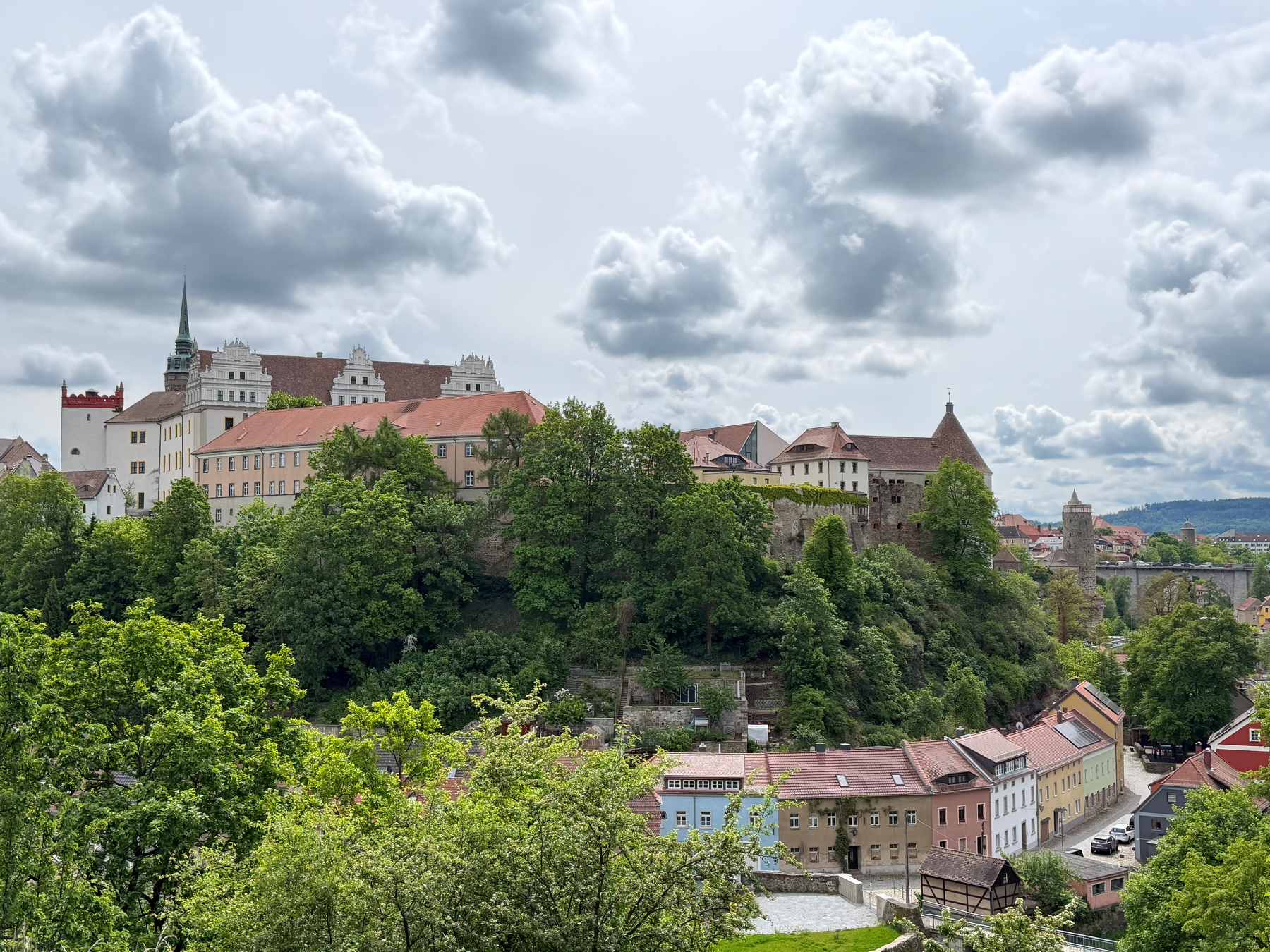
Bautzen, Germany from across the Spree river #Travel #Deutschland
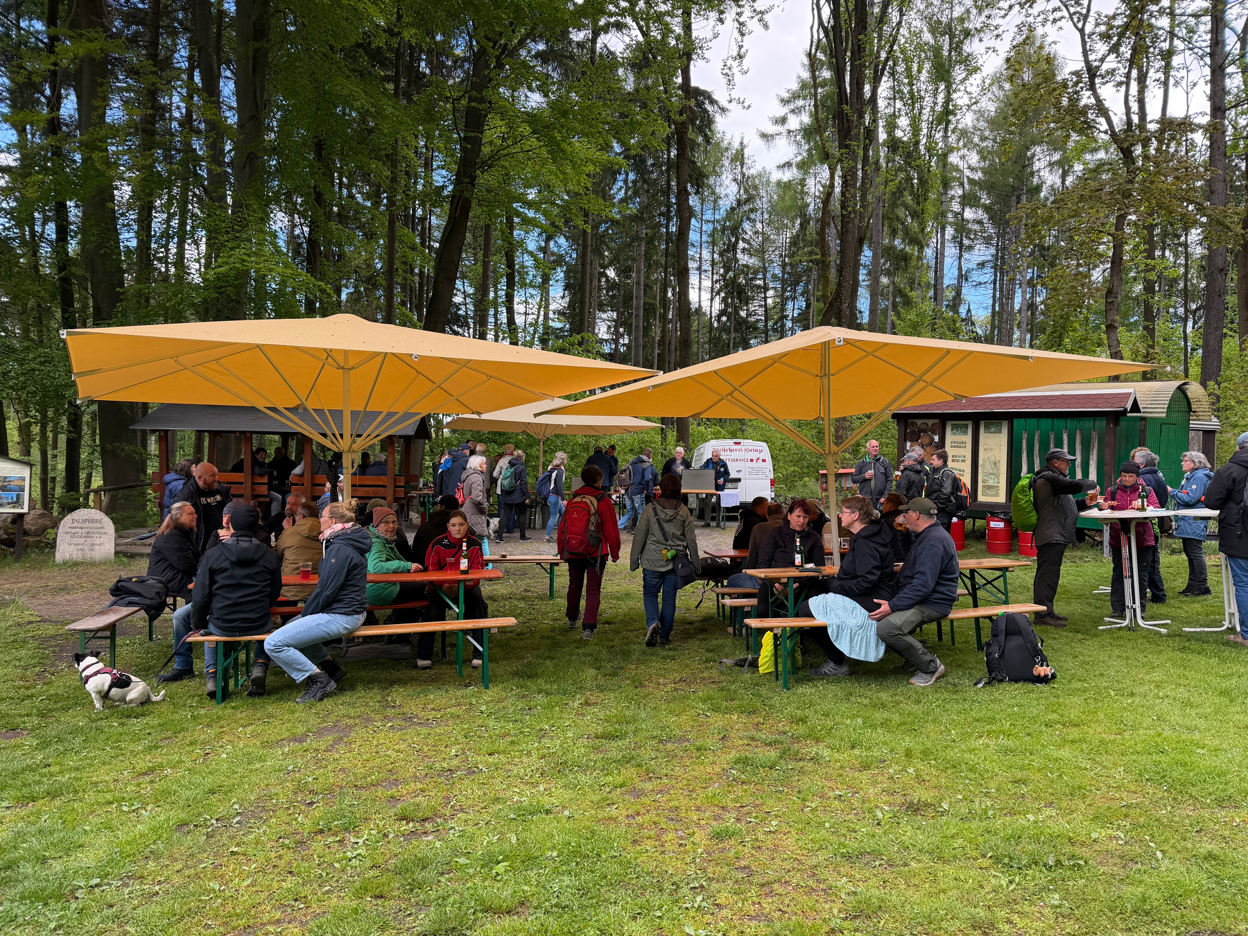
We’re at a small local festival on a Feiertag (day off for a catholic holiday: Christi Himmelfahrt) #Travel #Germany #Deutschland
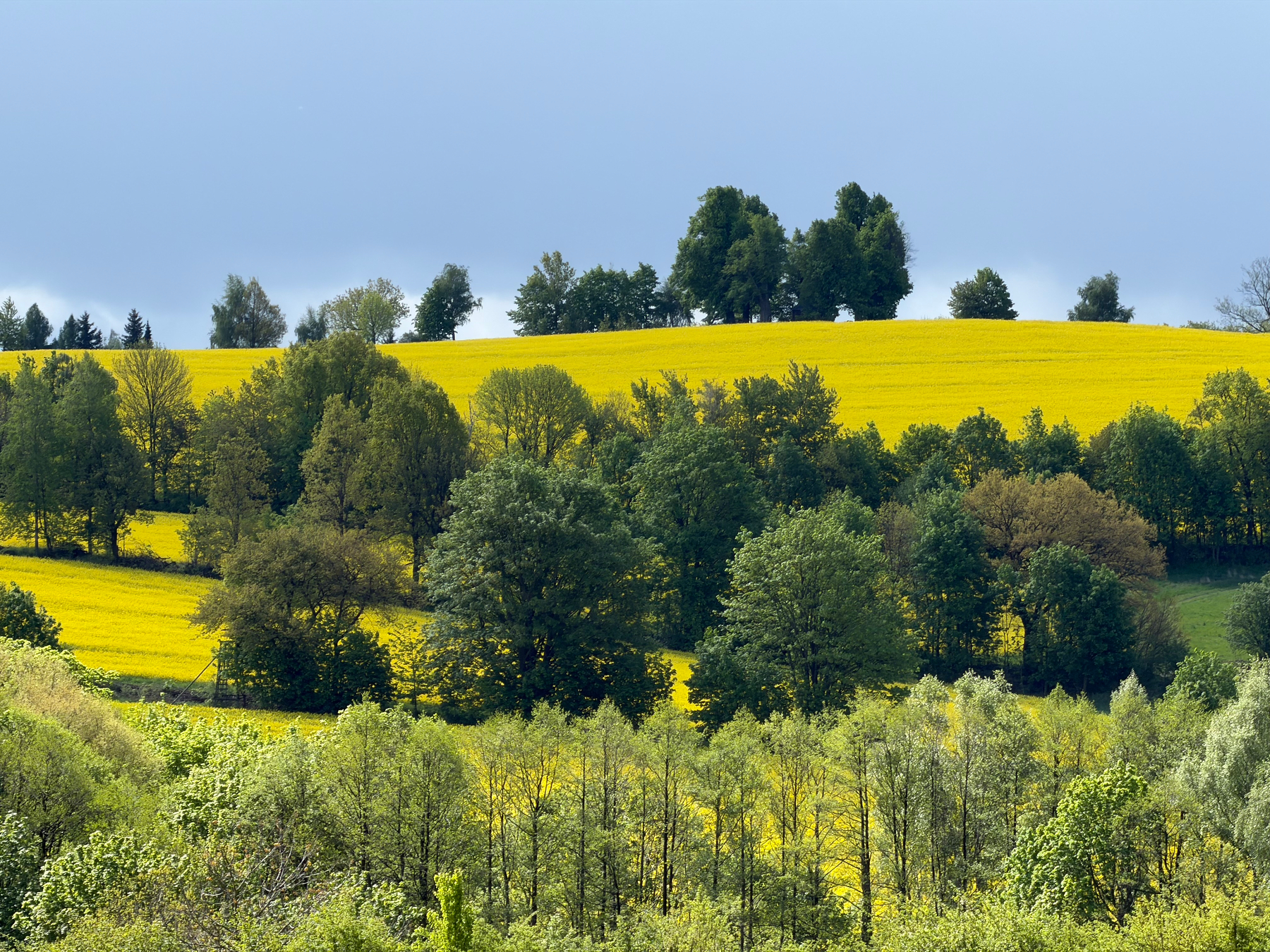
It’s big time rapeseed blooming time in Germany 😍 #Travel
We’re leaving Berlin to Dresden today. The new Czech trains are niice & oh so smooth. I’ve been on an older Czech train with compartments and it was claustrophobic. Plus conversation with strangers is more likely in compartments and I’m not a fan of that much lauded train experience #Travel
We were walking in Berlin’s Tiergarten by some sort of Zoo exhibit. We couldn’t help but gawk through a metal fence at an Ostrich, when suddenly a Fox showed up to hunt Helmeted guineafowl. The Ostrich gave chase and stomped away the Fox (I couldn’t photo document that as it was FAST) #Travel
.jpg")

I went exploring Berlin for a bit and stumbled upon an exterior hall loaded with art, near the Hackeshen Hofe and across from an Apple Store. People were going out of their way to pose for cameras with the art behind them #Travel

Here’s an Eurasian skylark and an Eurasian kestrel from Berlin’s Tempelhofer Field. The birds love the expansive and currently protected grassy areas to the sides of the runways. #EurasianSkylark #EurasianKestrel #Birds #Travel


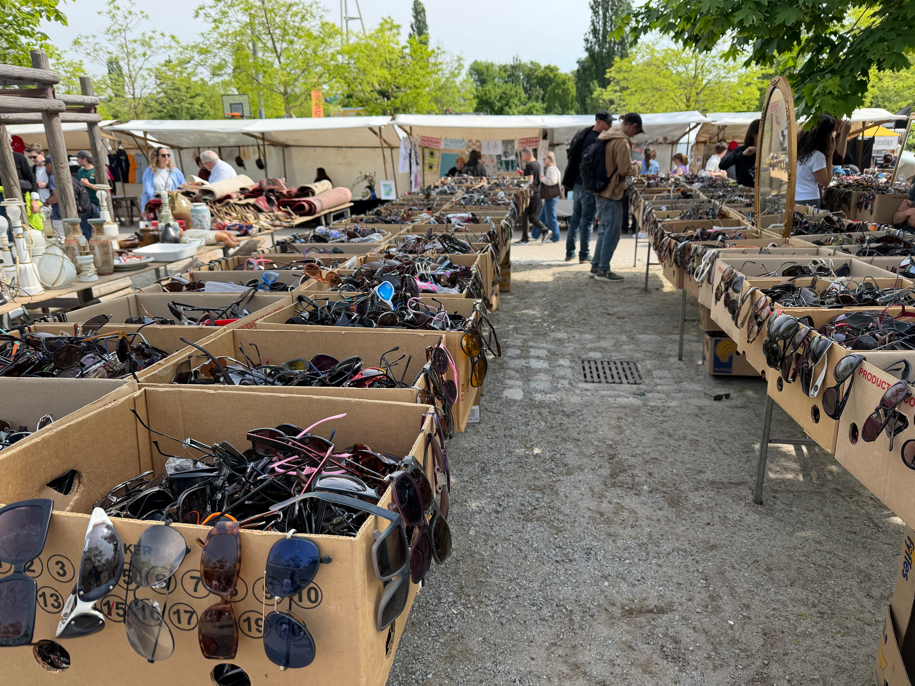
The Flohmarkt (Flea Market) in Berlin is wild. Want an old school digital camera? You’re set. A mix of German Marks, including DDR Ostmarks? Yup. Sun glasses, too. And all the Lego people you could ever want. #Travel


And now for something completely different, Tulips and a lone blooming rose at Berlin’s Humboldthain Rosengarten (the rest of the roses are nowhere close to blooming) #BloomScrolling #Travel


Yesterday, we covered some ground in Berlin. From the East Side Gallery murals on an existing section of the Berlin Wall, north to the Kulturbrauerie (& a visit to the DDR Museum), and then southwest to the Asparagus Festival (Spargelfest) in Berlin-Schönberg. It’s easy to get around Berlin. #Travel


Vegetarian Momos, Tibetan dumplings, from the outdoor market at Kruezberg in Berlin #Travel

And now for something completely different, a short 34-second video from a passenger train of the Germany countryside, east of Frankfurt. The fields of yellow flowers are likely rapeseed, grown mainly for oil (called Canola in North America) #Travel
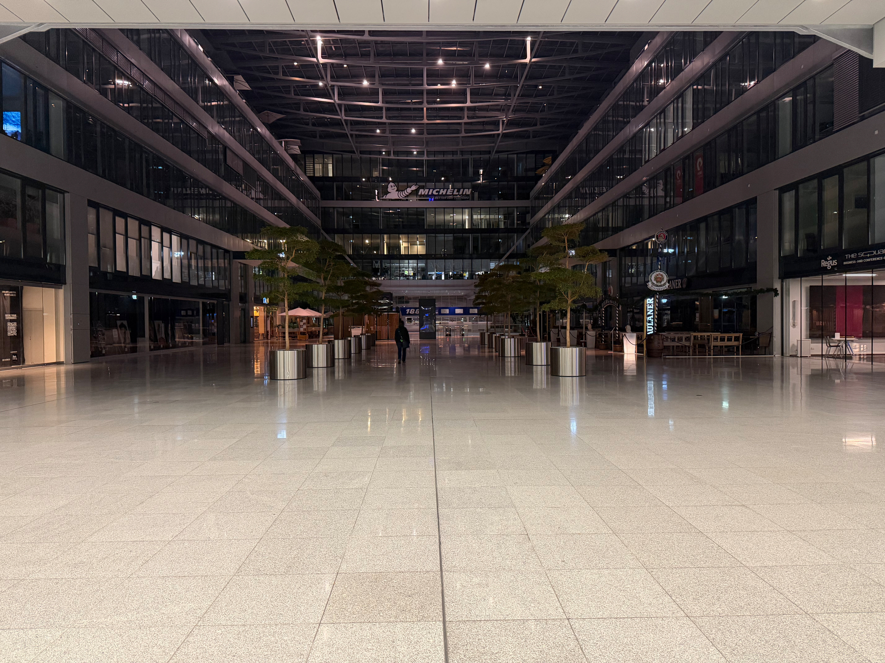
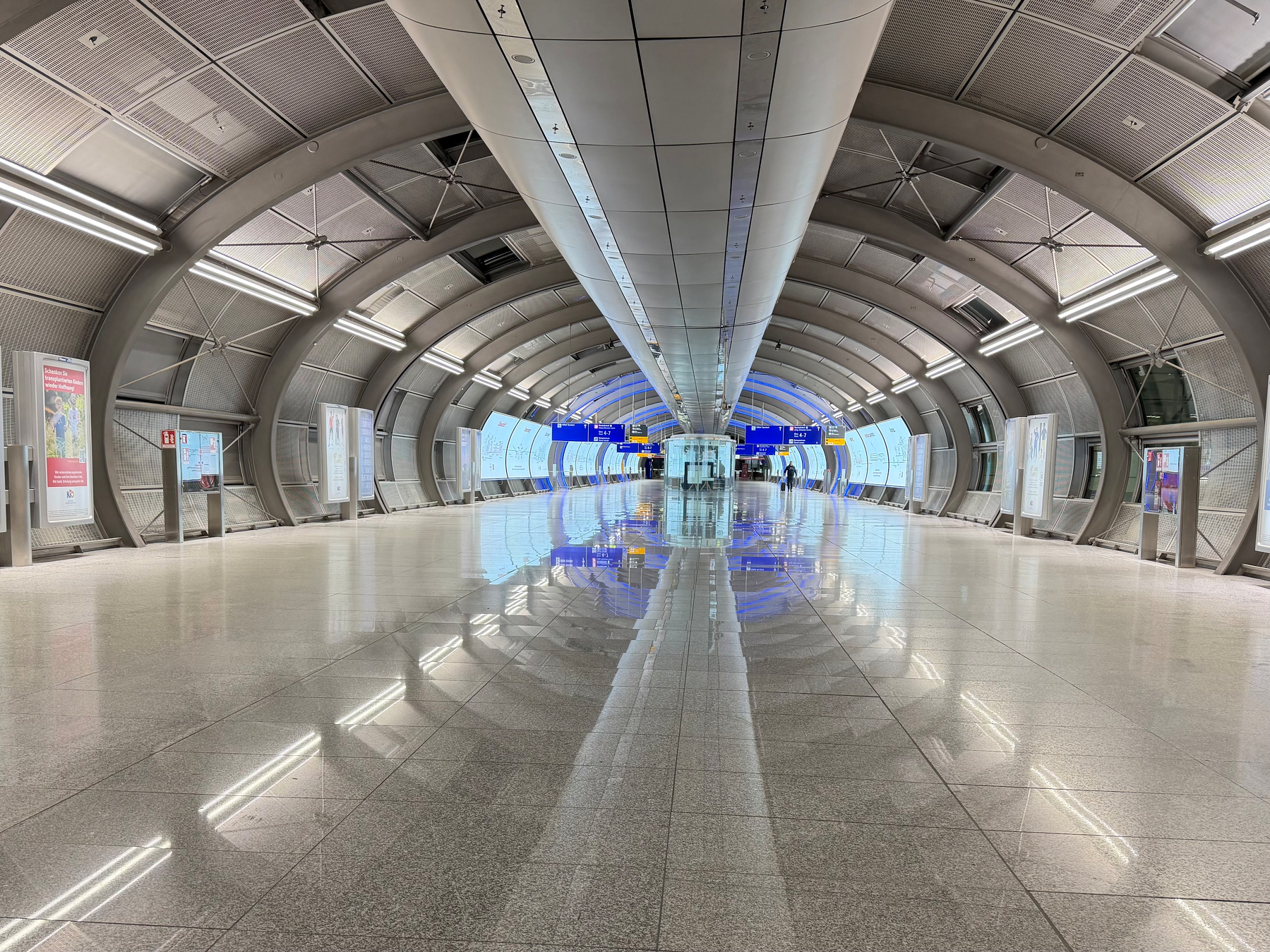
Jet lagged at Frankfurt Airport means exploring at 4am in pursuit of hot coffee. McDonald’s was open. #Travel
May 7, 2026: A very ordinary landing at Frankfurt International’s 25R. There’s no speed brake action this time. #AvGeek #Aviation
May 6, 2026: a 1.5-minute long video of an over-wing passenger view from a United CRJ–200 landing at SFO on 28R. Watch the speed brakes! #SFO #AvGeek #Aviation #CRJ2 #N944SW
5/6/2026: United CRJ-200 N944SW at Sacramento International, taxiing to the gate. It’ll turn around for San Francisco #AvGeek #Aviation #CRJ2 #N944SW
December 15, 2025: United B737-9 Max (N27509) SFO-YVR, first landing attempt and go-around #AvGeek #N27509 #B39M #GoAround #Aviation #Video #TestPost
Our cultivated native California grapes have a bumper crop this year. The house Northern Mockingbird pair will be very pleased this fall. And there should be enough for us to make a delightful syrup that goes well with vanilla ice cream #NativeGarden #Grapes
This year, our Bacon Avocado has the best fruit-set ever, after its complimentary Mexicola Avocado bloomed in parallel. I’m guessing 75% of the currently pea-sized fruit will drop over the summer #Avocado #HomeOrchard #Gardening
In case you missed it, the United Airlines Fleet website moved. There you can get niche information on UAL aircraft status or find a tail number with an equipment number #AvGeek #Aviation #UnitedAirlines