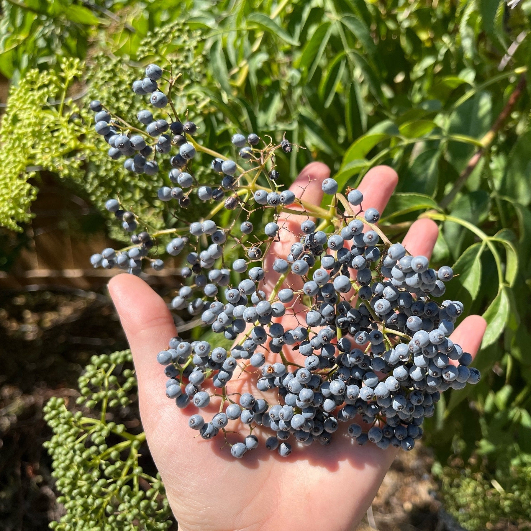
Elderberries are ripening already. And there’s so many more in the hopper! 🌱
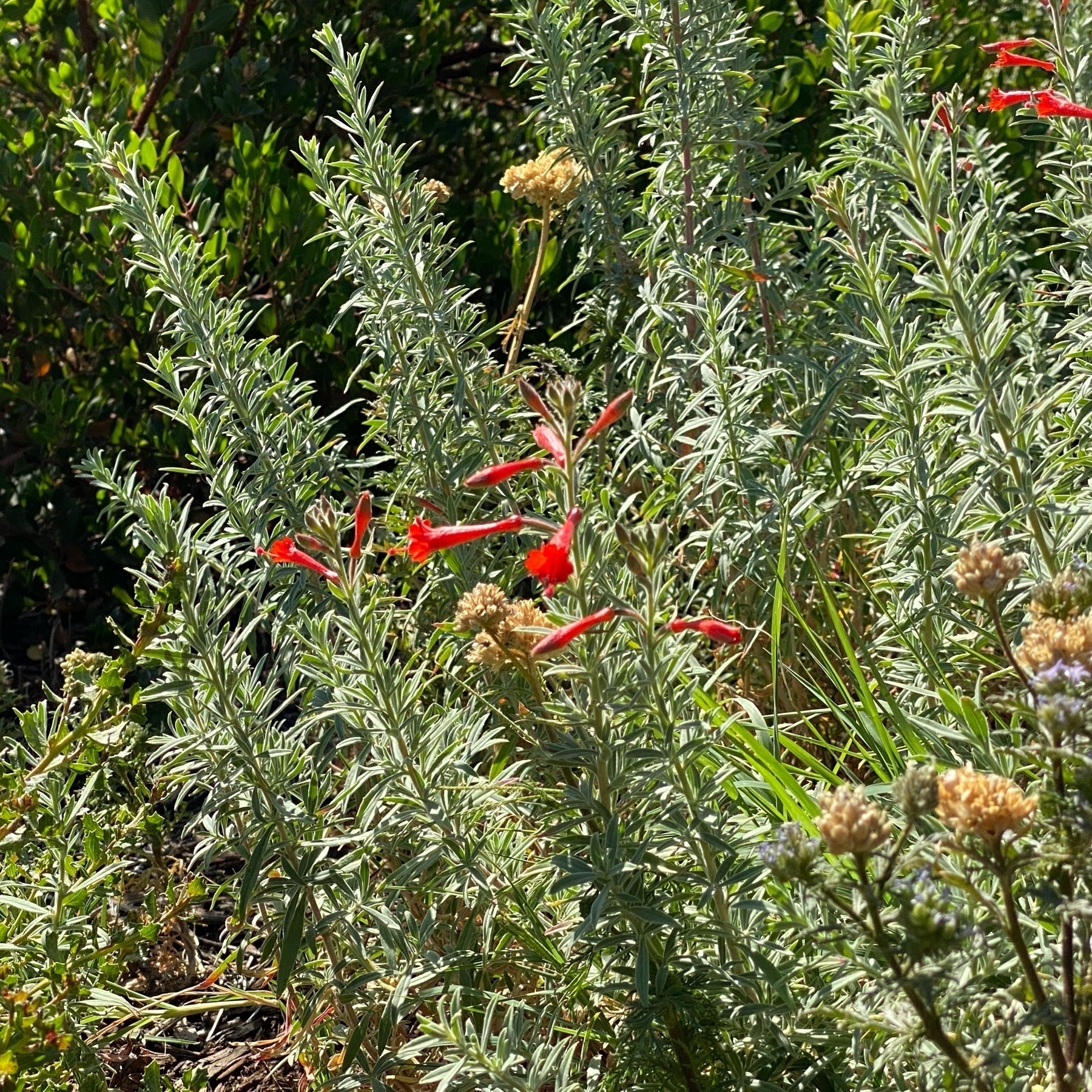
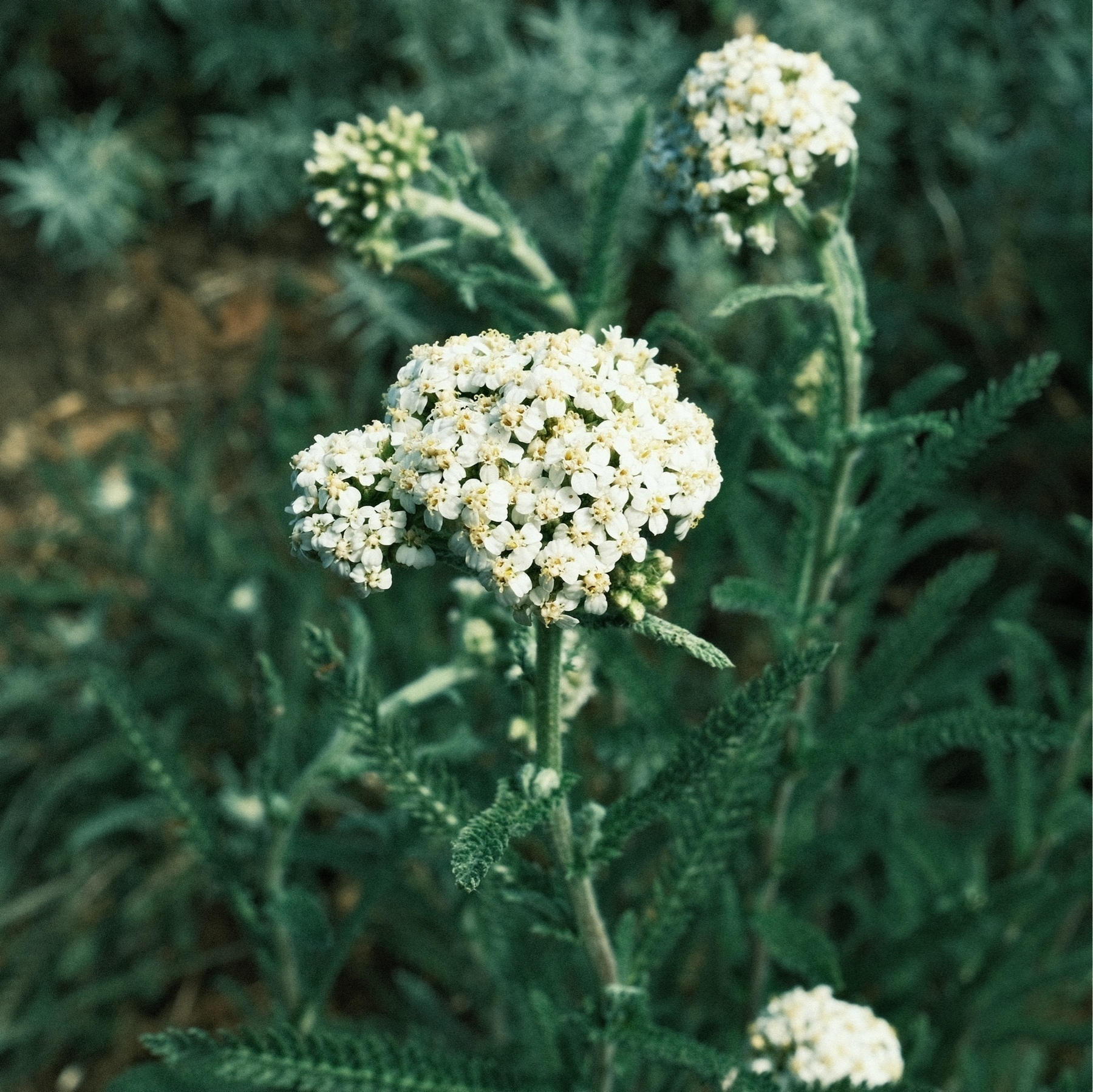
One front yard clump California Fuchsias is blooming. This one is always a month ahead of the others. Not pictured, but our yarrow is flowering too. And the Toyon is still very popular with all kinds of pollinators. Meanwhile our neighbor struggled with a gas powered lawnmower.🌱
I do not love it when Microsoft Flight Simulator 2020 inexplicably drops my entire approach flight plan and drives me direct to the arrival airport. Keeps me on alert, that’s for sure. I’m pretty close to buying X-Plane. Can’t wait for X-Plane 12 early access.
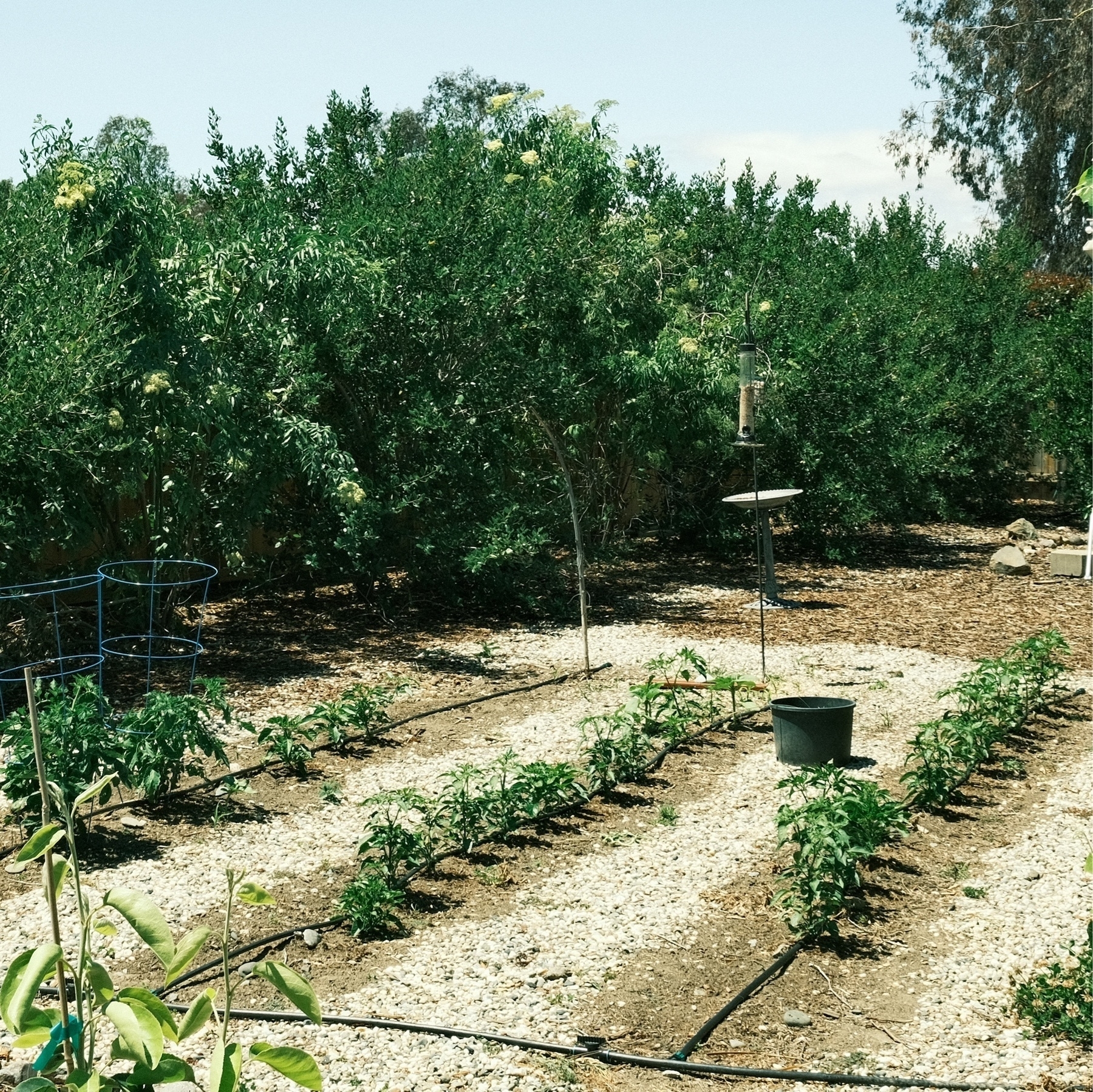
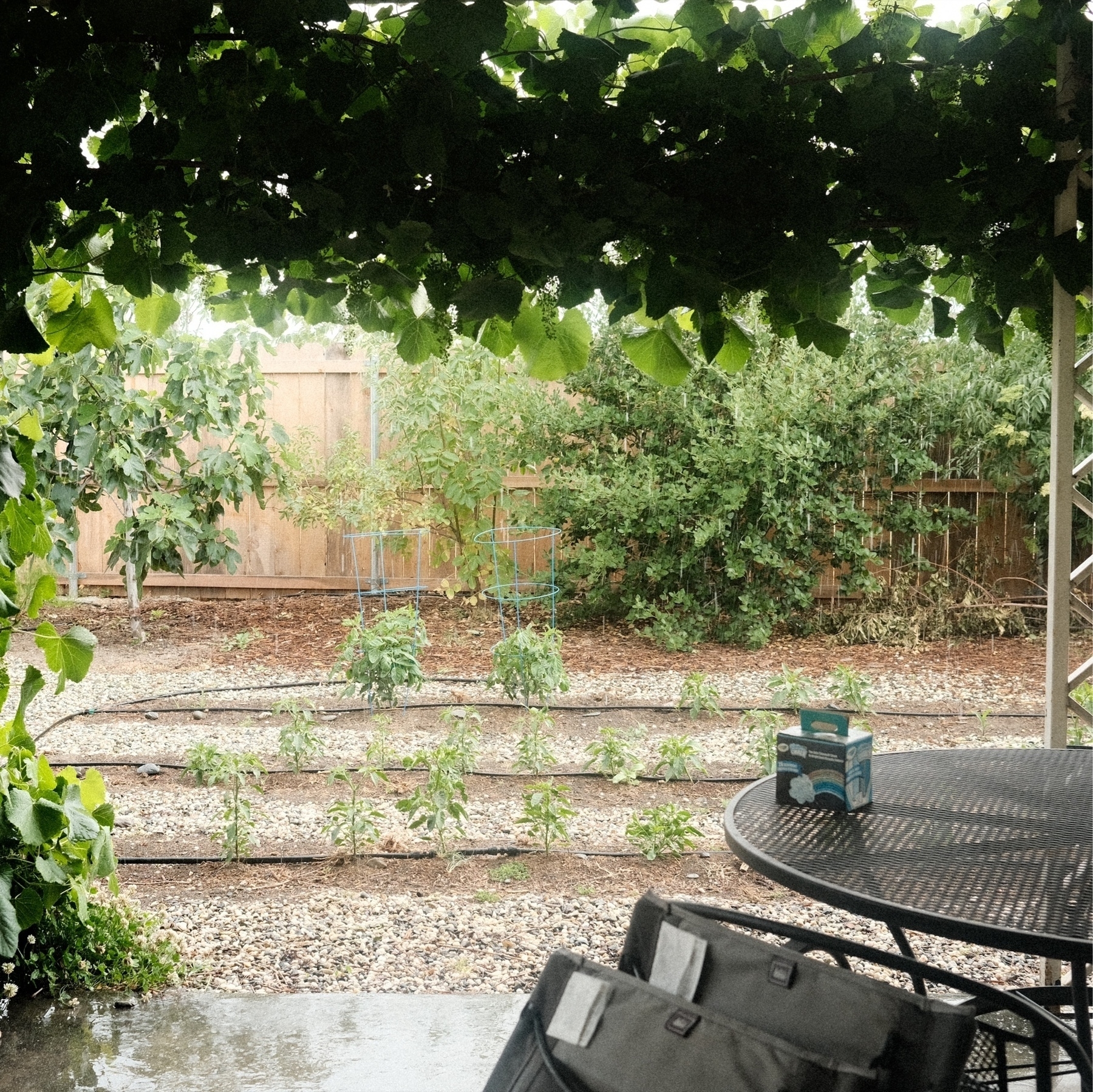
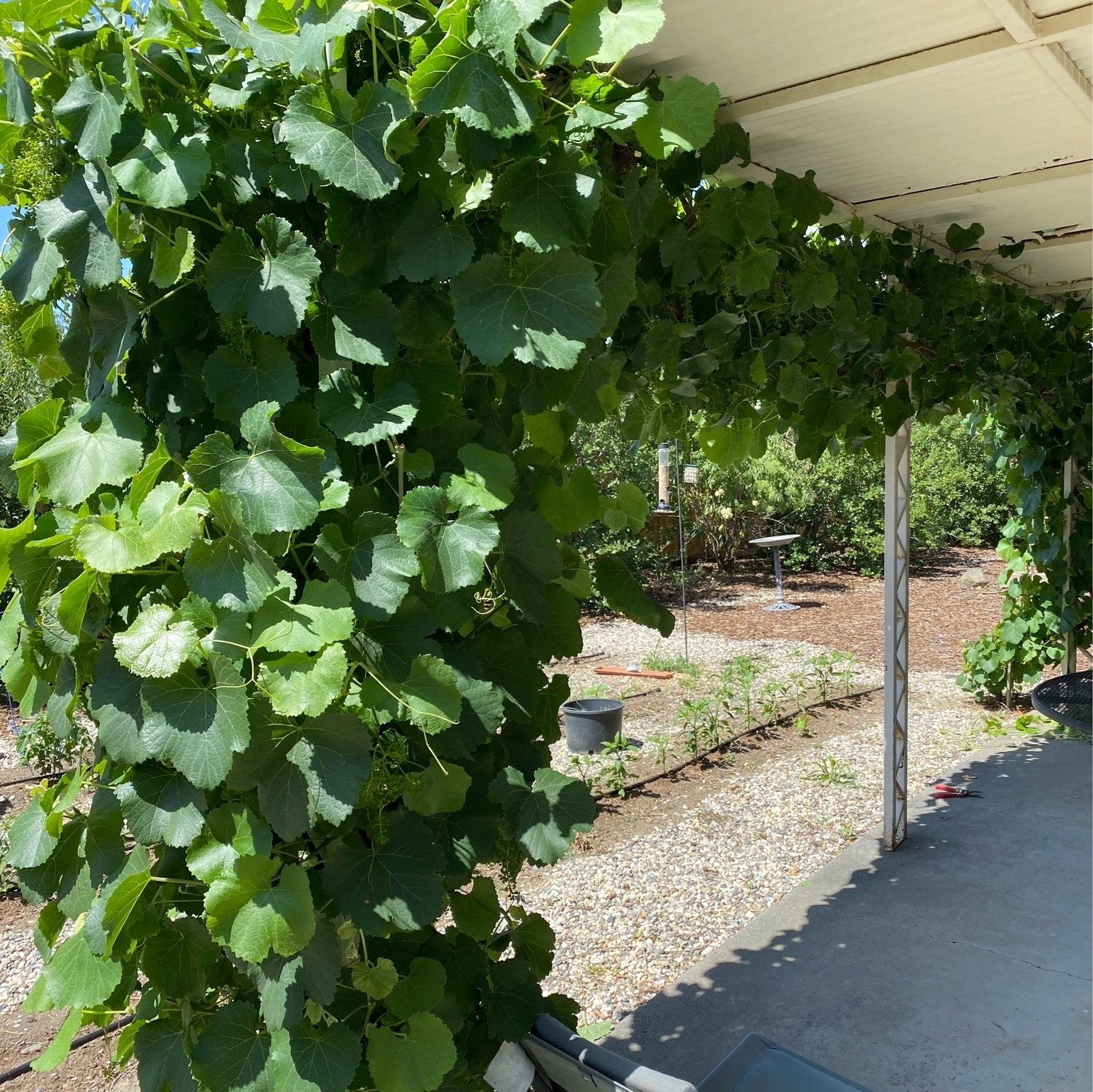
Backyard is looking good. Peppers & tomatoes are flowering. The elderberries are still flowering.
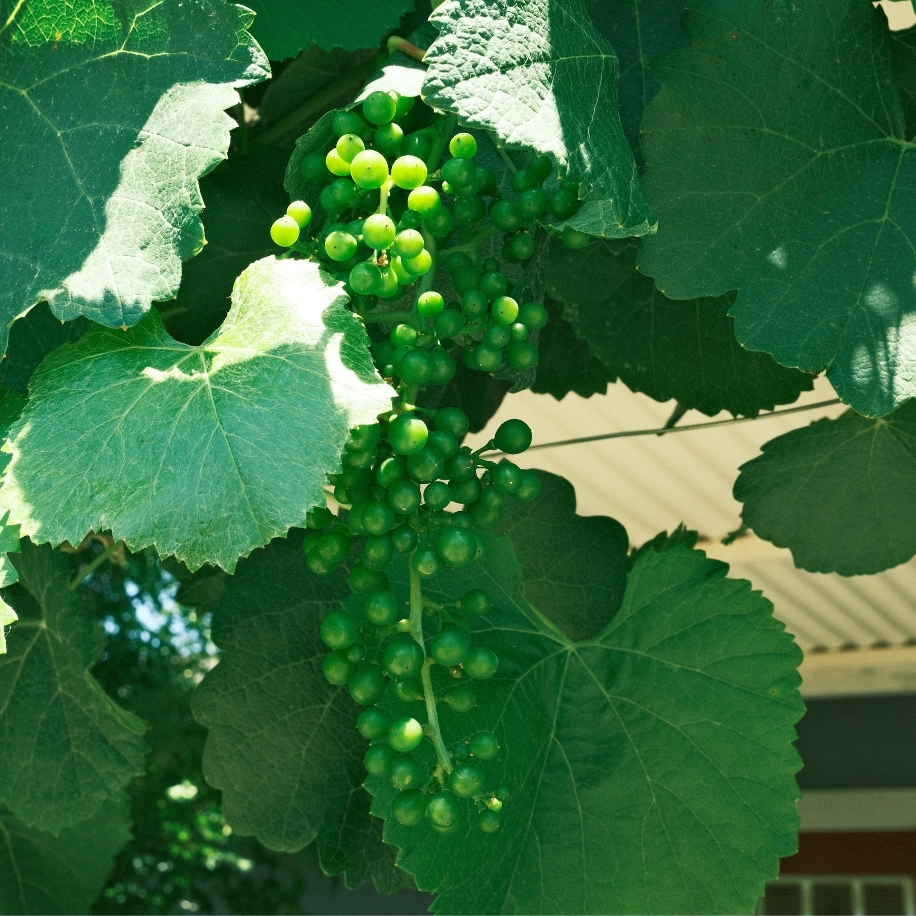
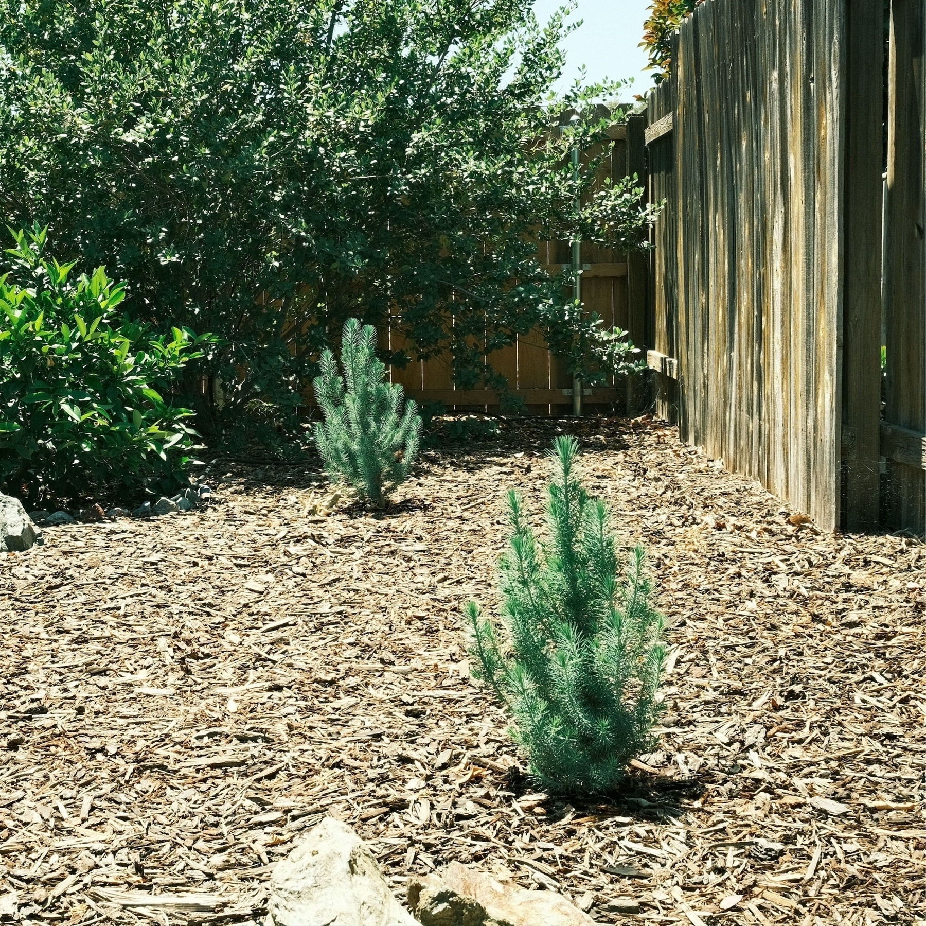
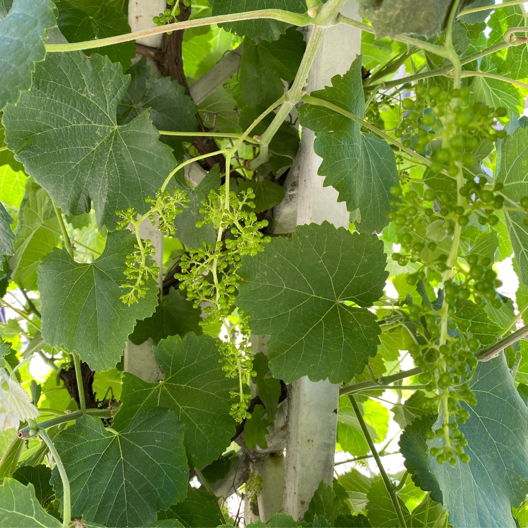
Our grapes are getting plump real fast. And our volunteer conifers are super happy. They grew several inches this year. 🌱🌳
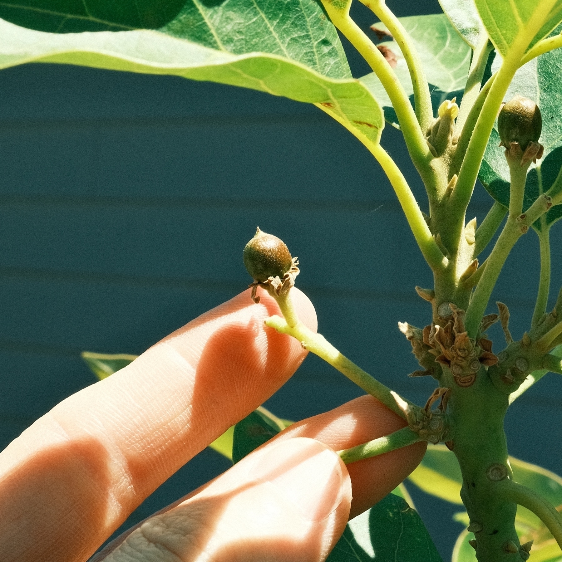
Baby “Bacon” variety avocados! Latest date I’ve seen berries on this tree. Let’s see if they’ll survive summer and winter. 🌱🌳
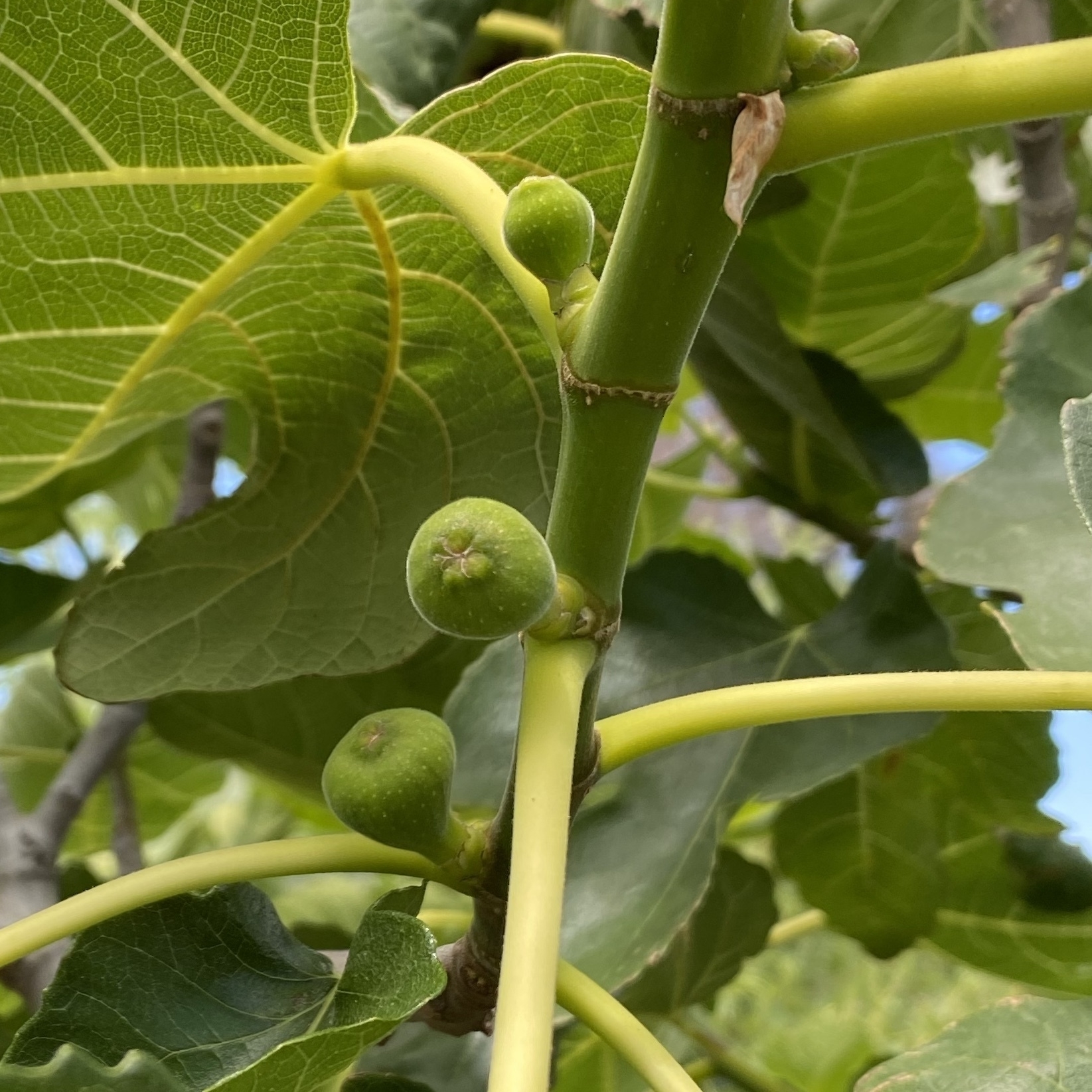
Probably going to have a bumper crop of figs this year! Last year was meager. 🌱🌳
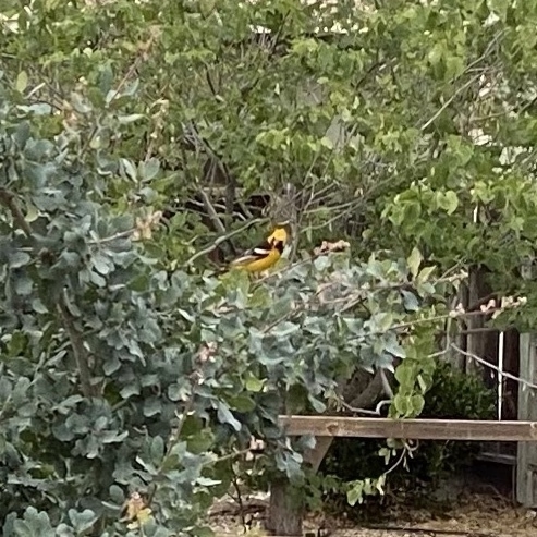
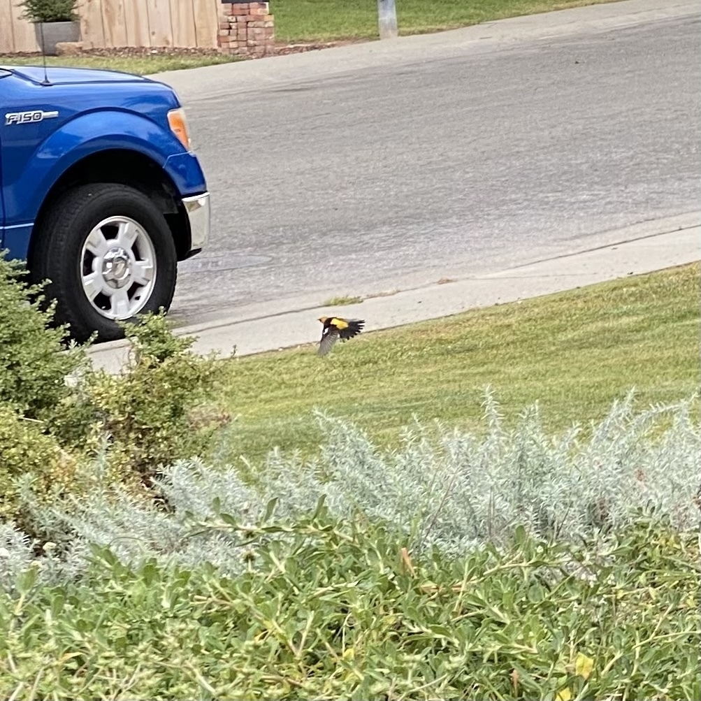
Spotted a Hooded Oriole in the front yard as we we started an after lunch walk. What luck. A first!
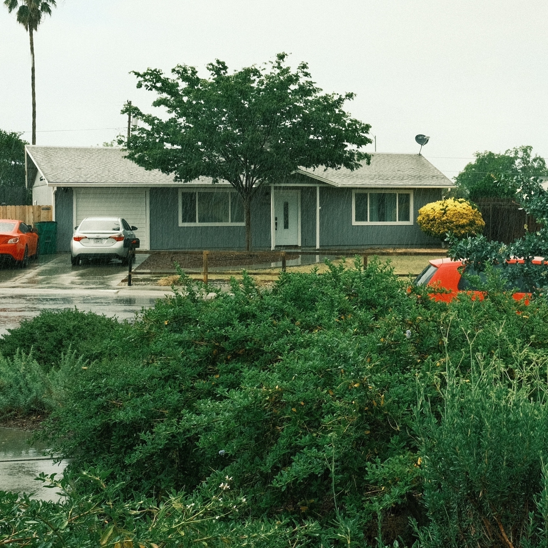
More of this rain please.
Our front yard Toyon (first photo) and Yarrow (2nd photo) are blooming. Just the California buckwheat and the California fuchsias are left to bloom. 🌱
Been several years & usually I’m behind on WiFi tech so figured it was time replace the old eero Pro with an eero Pro 6E. I only use one eero as the house is tiny. Now getting top WiFi speeds on the local network 🙌

Mockingbirds are going to have an amazing late summer of grapes from our cultivated California grapes. These have an amazing assortment of bugs too. Still have ladybugs in them. 🌱
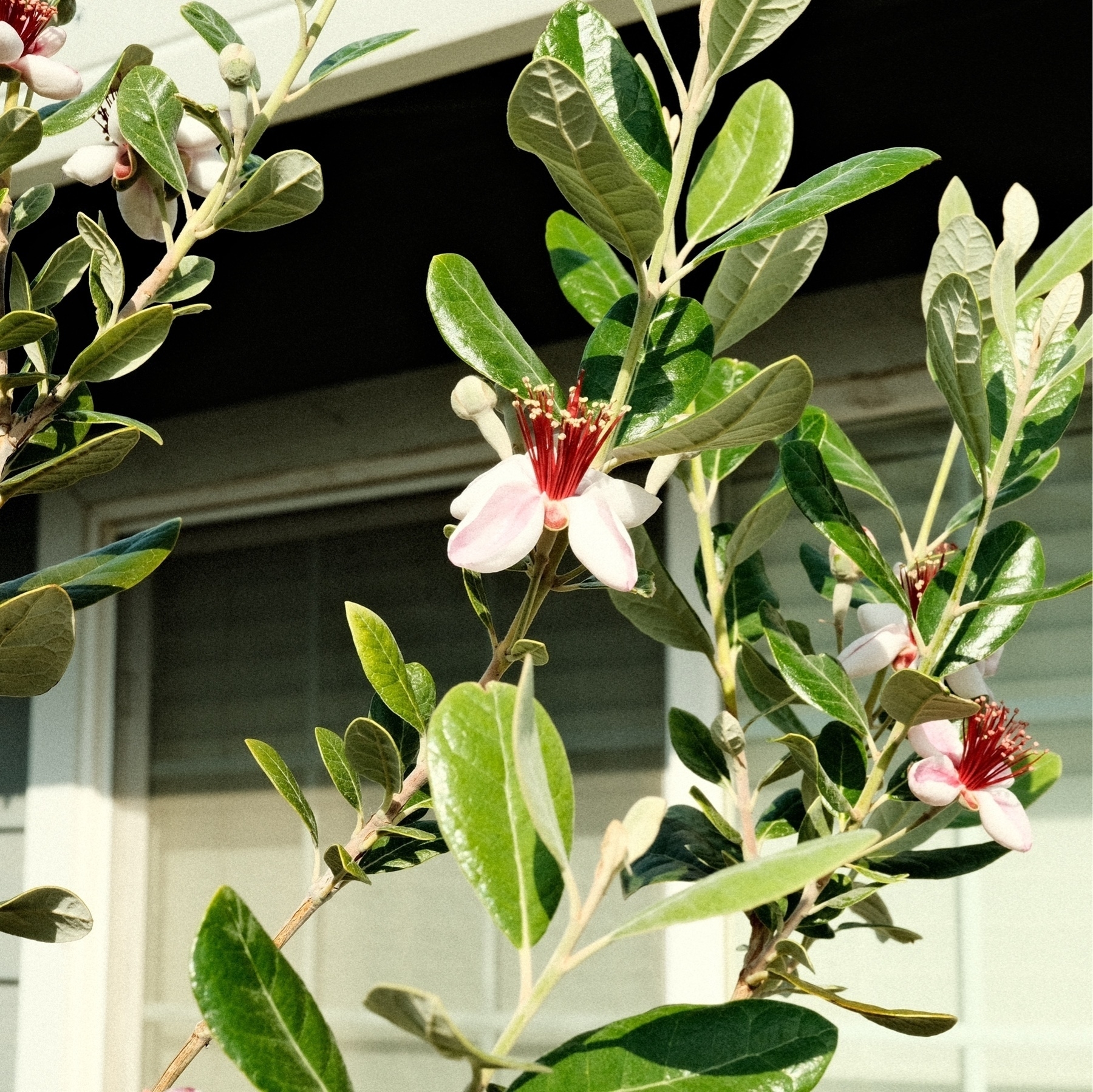
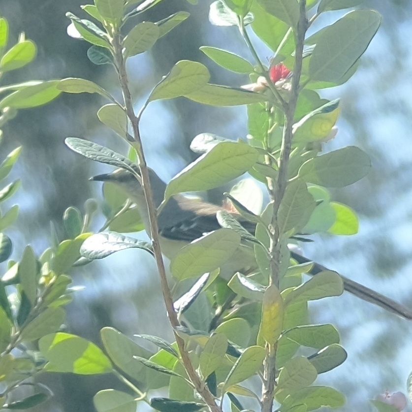
Pineapple guavas have been blooming for a few weeks now. The Mockingbirds love munching on the flower petals.
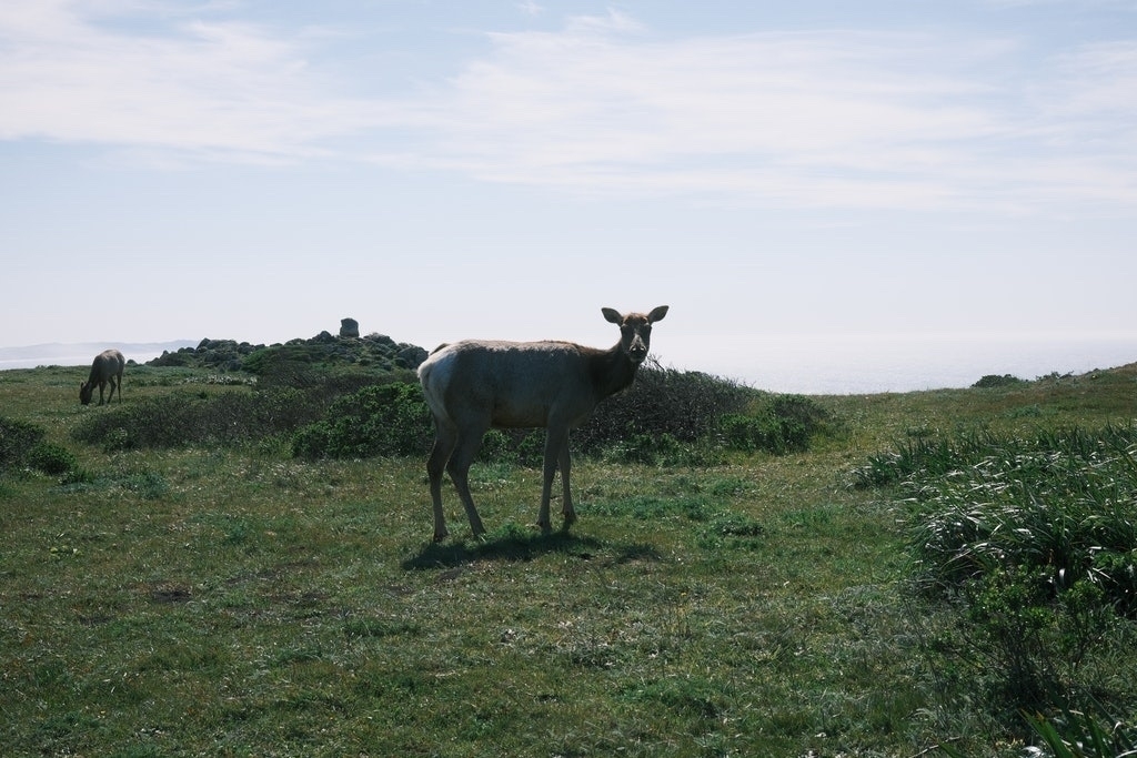
Elk at Point Reyes National Seashore, California. Last March.
Spring.
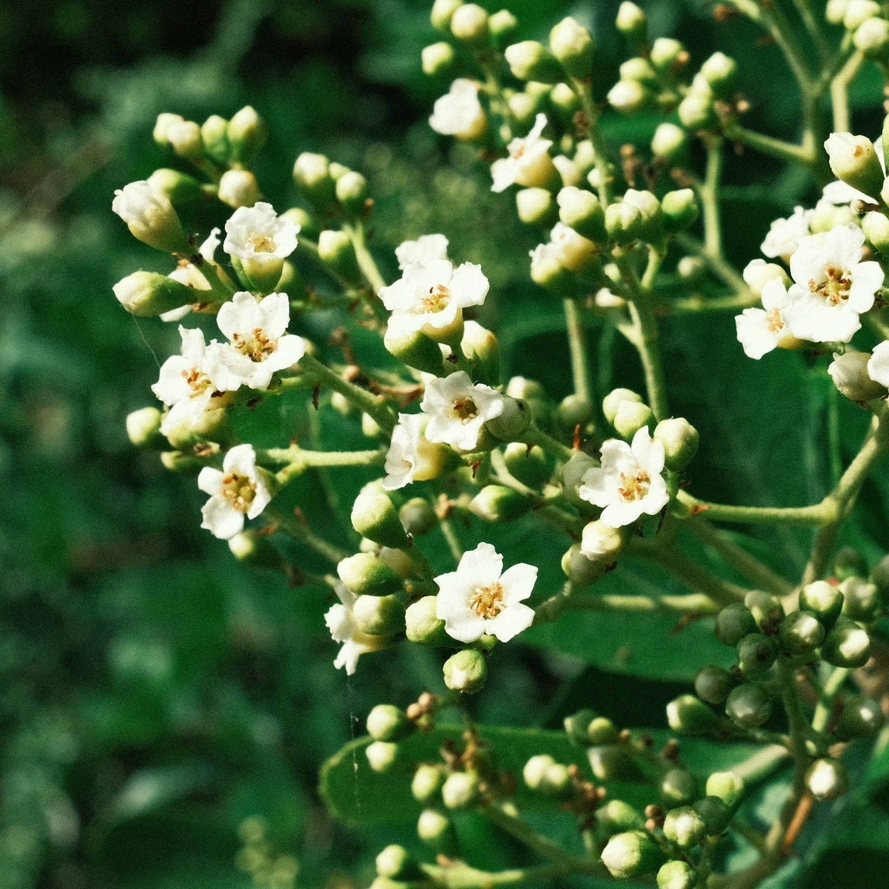
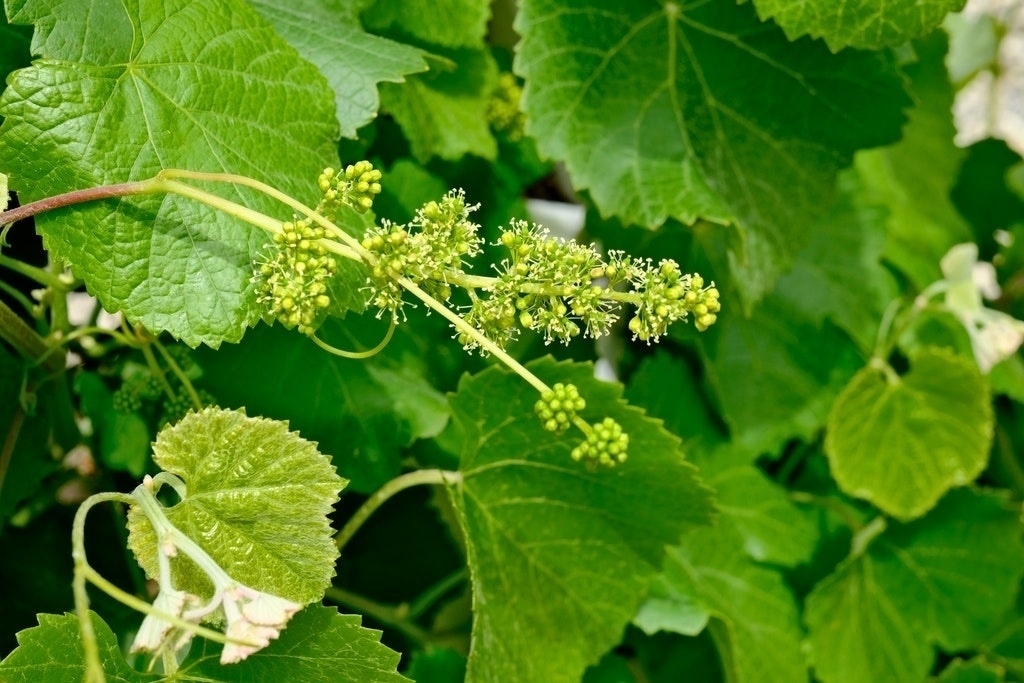
Wild California Grape flowers.
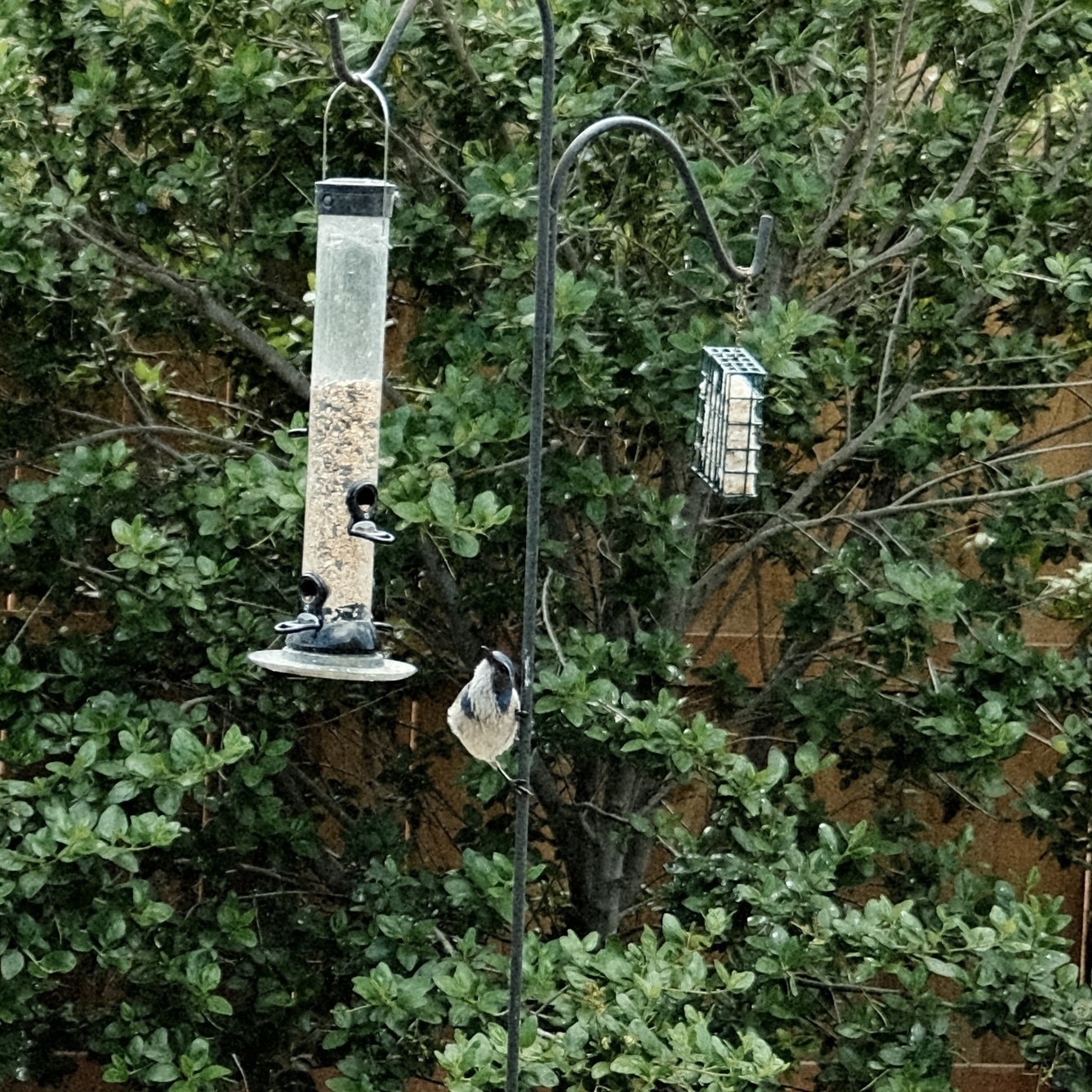
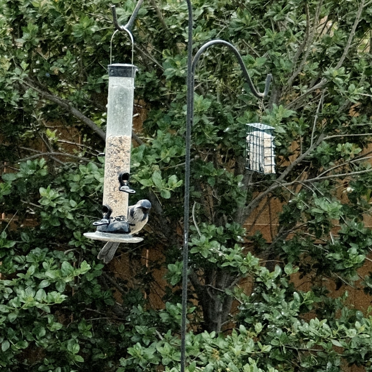
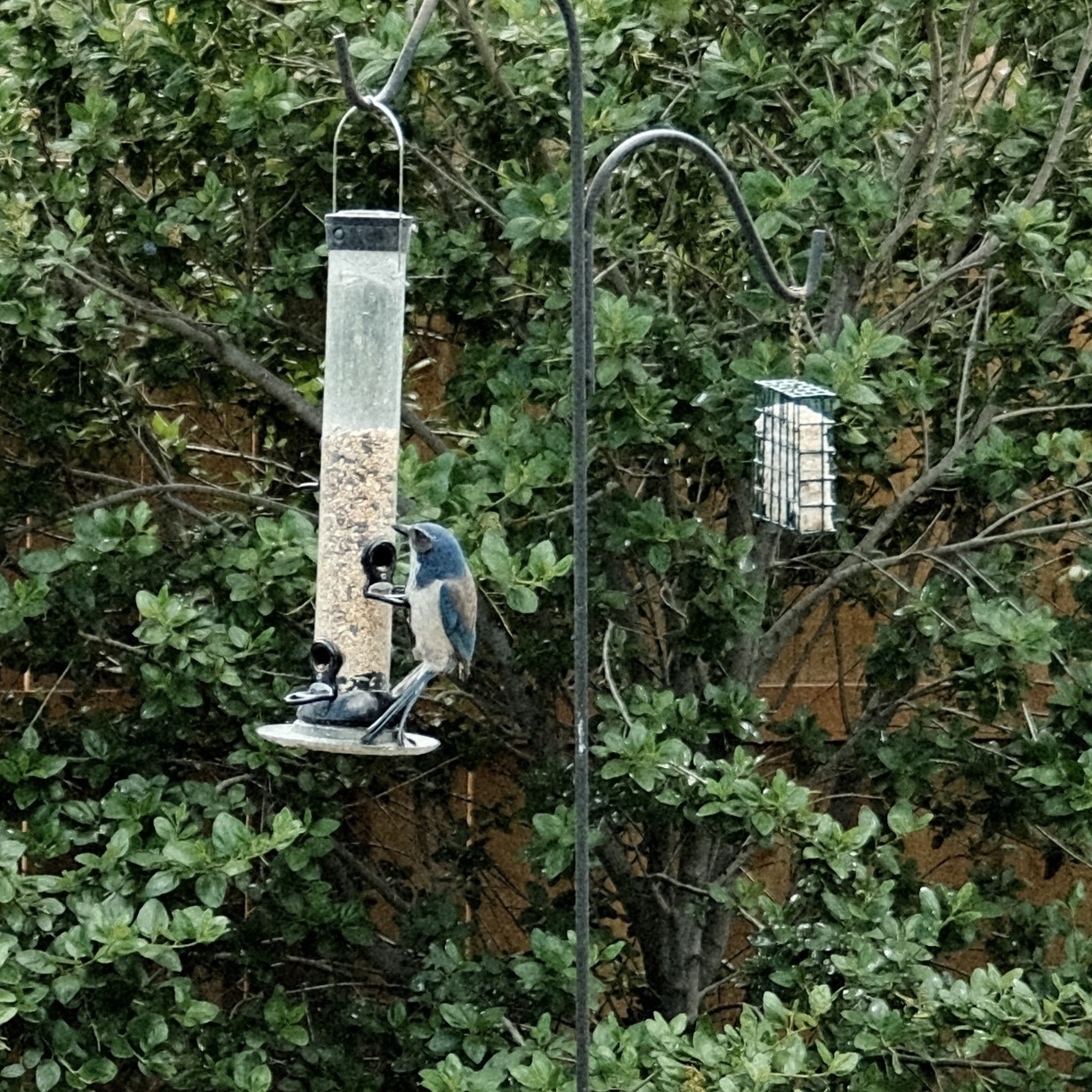
Area scrub jays have really got the hang of our feeder. Although, recently one jay tried to peck at the seeds through the transparent canister.
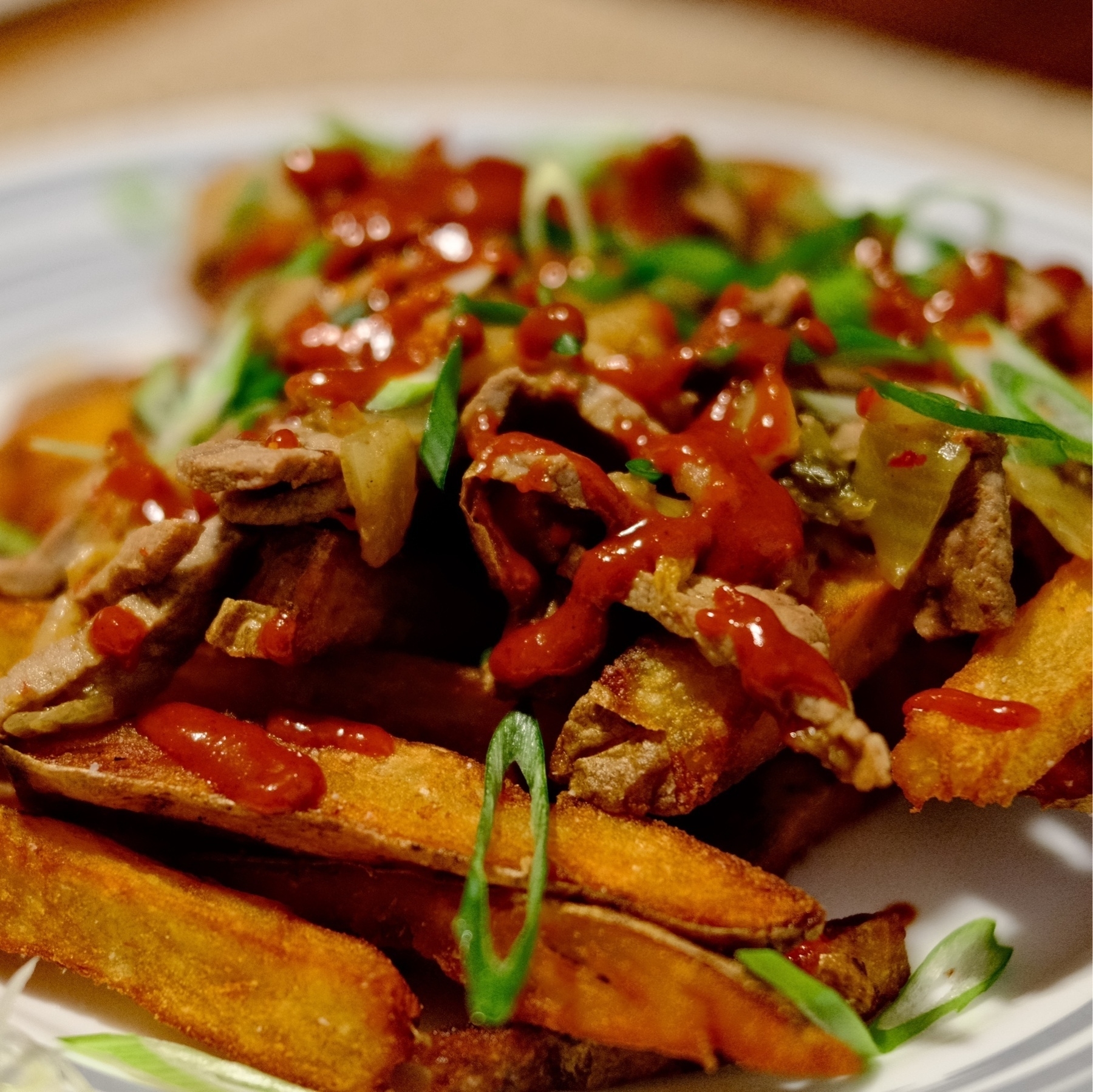
Our homemade Bulgogi fries. Inspired by a food show that had a terrible implementation of this idea. We got it right 🤫
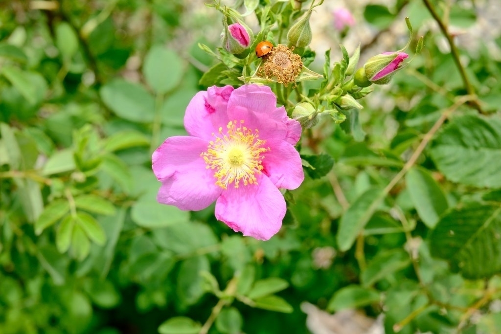
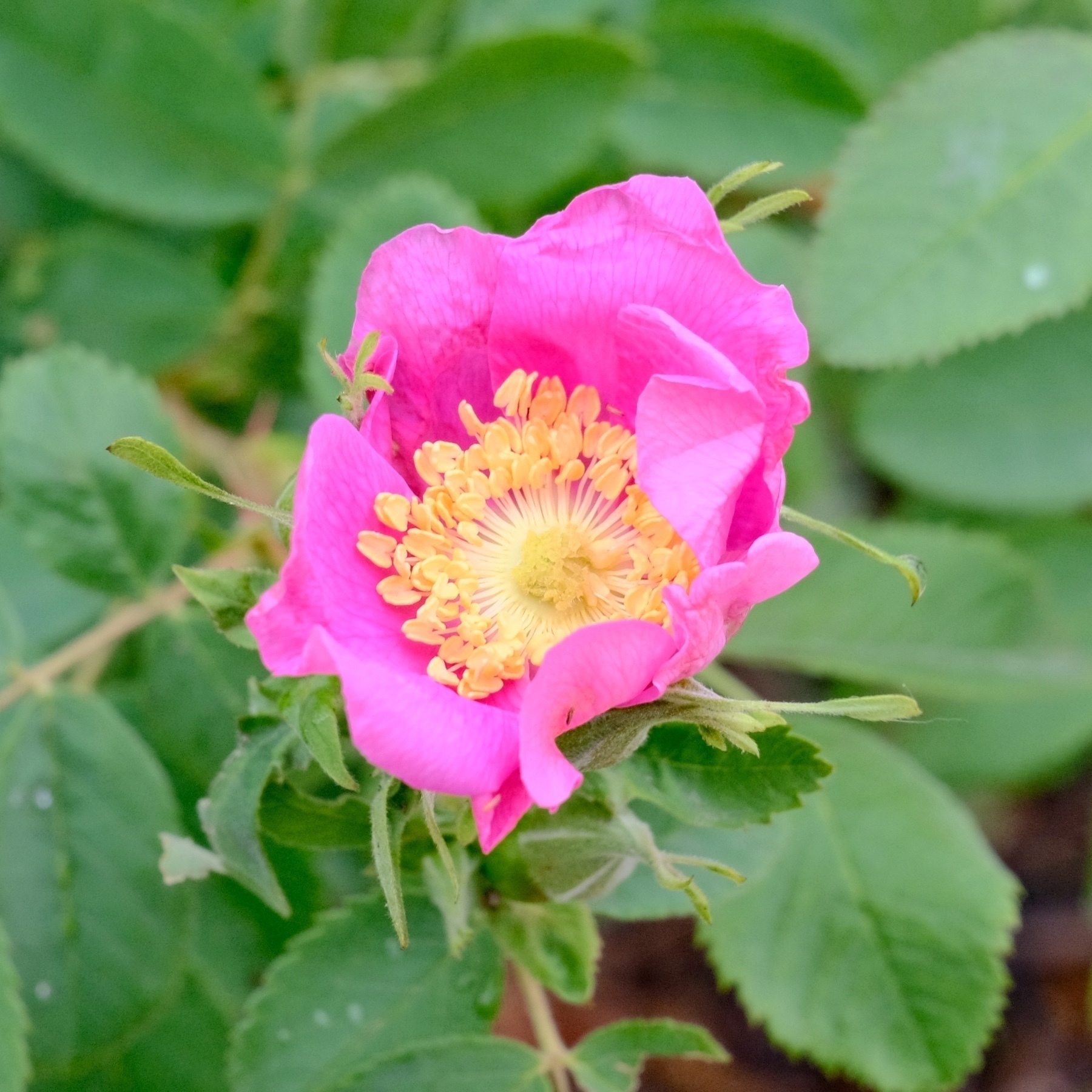
Here’s a magenta flower from one of our cultivated California Wild Roses.
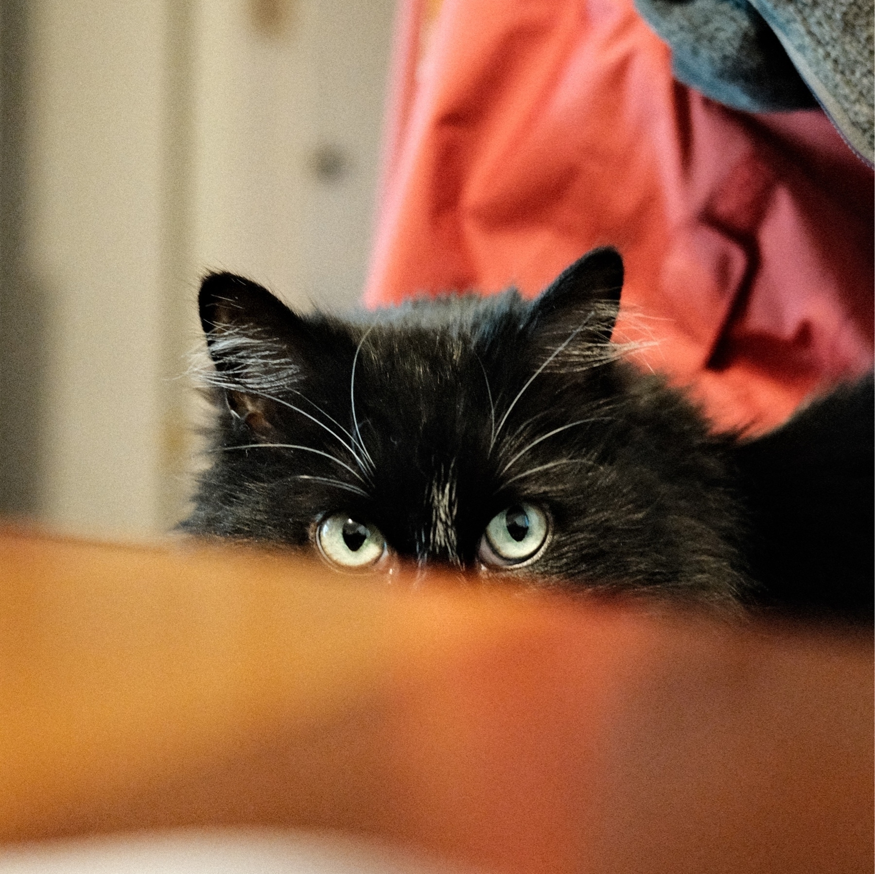
The Annie Cat.