We had been talking about visiting Death Valley for many years. We finally did it! Here is the first post in a series.

See Part 2 or Part 3 or Part 4 or Part 5

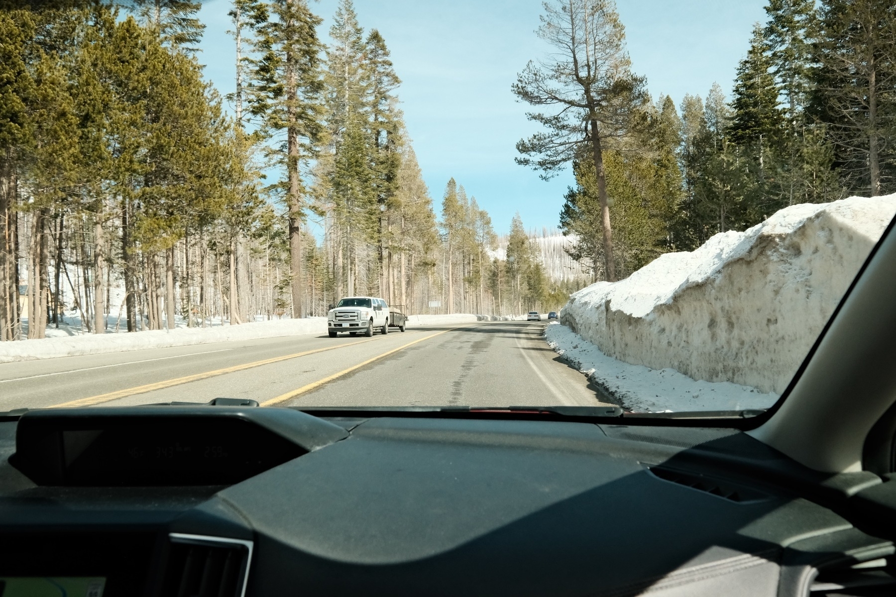
Snow in the Sierra Nevada mountain range along U.S. Route 50 near the “Sierra at Tahoe” ski resort:

A view from the inside of a vehicle showing a road lined with tall pine trees and high snowbanks on a sunny day.

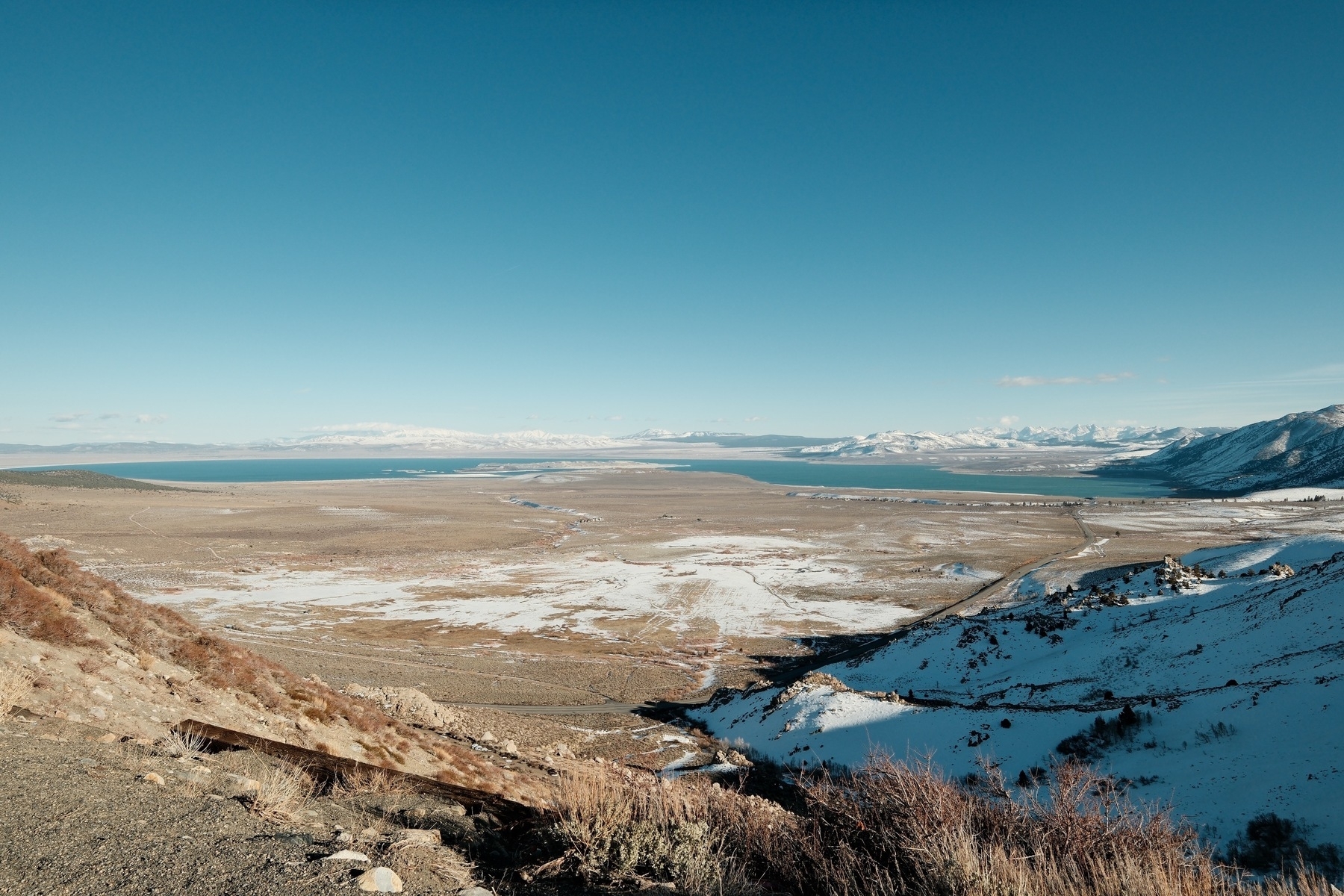
Mono Lake from the vista point on U.S. Route 395:

A panoramic landscape of a snow-dusted valley leading to a large body of water, Mono Lake, with mountain ranges in the background under a clear blue sky.

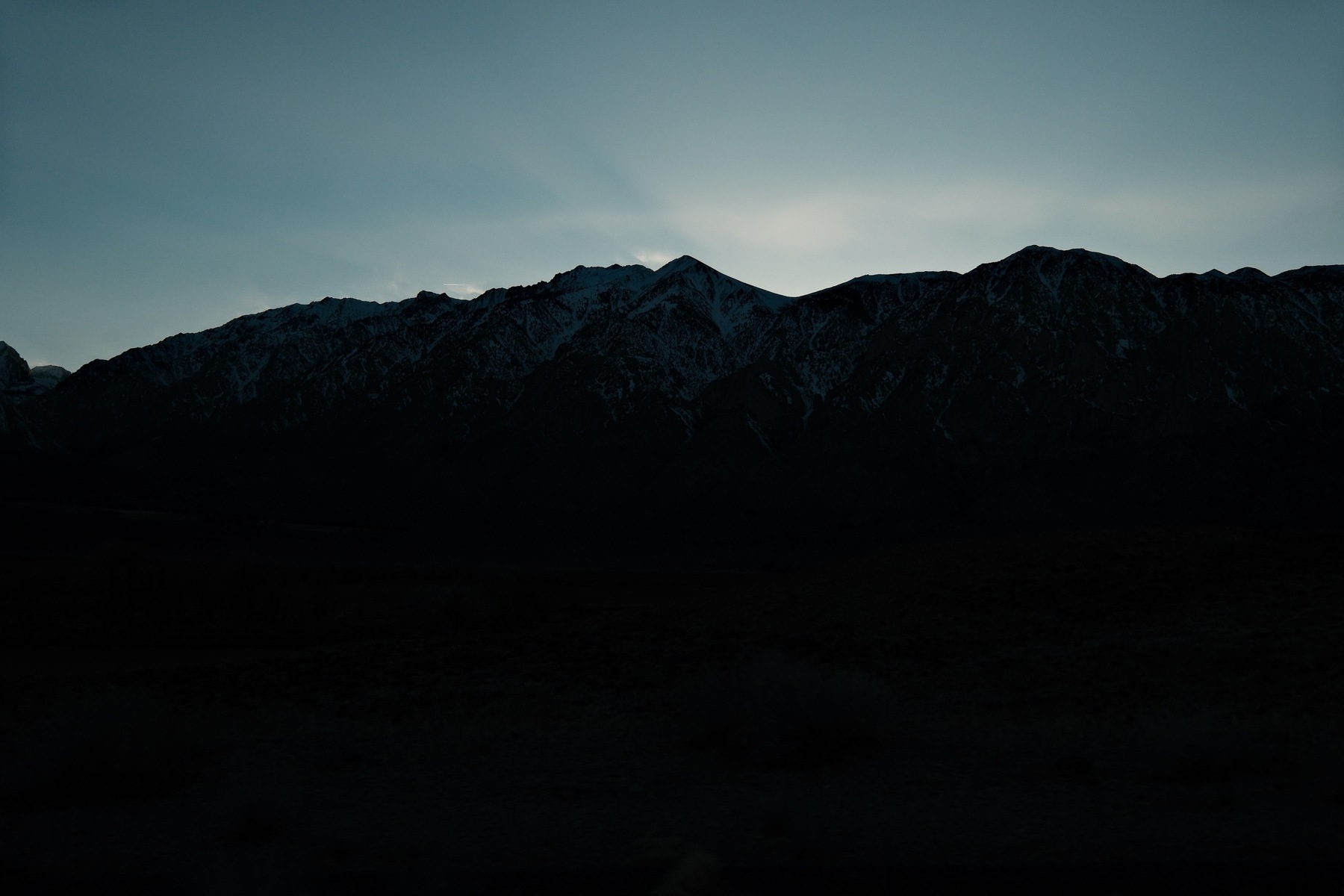
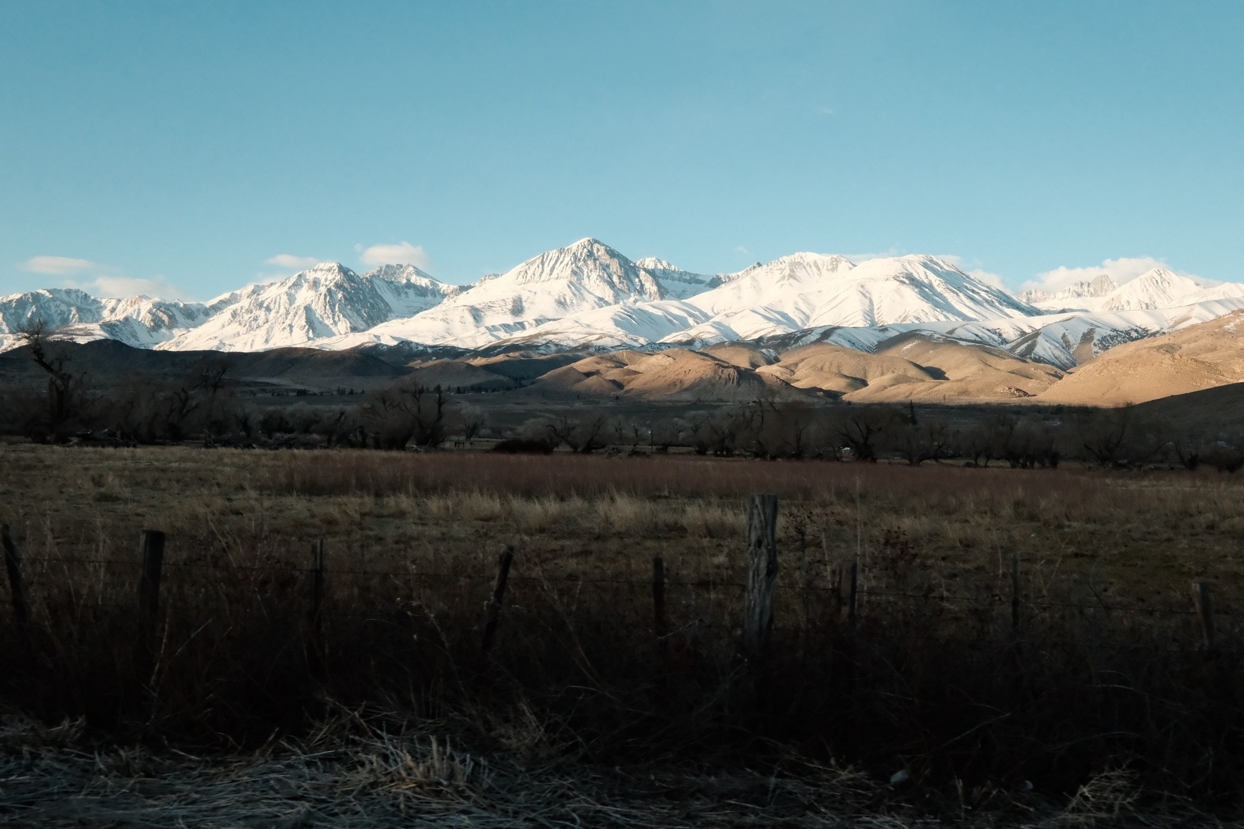
Sunset behind the Sierra Nevada. Somewhere north of Bishop, CA:

A silhouette of a mountain range with snow-capped peaks against a twilight sky. Ghostly lighting illuminates some whisper thin clouds.

The east side of the Sierra Nevada mountain range, just outside Big Pine. The major mountain might be North Palisade:

A scenic view of snow-capped mountains behind rolling hills with sparse vegetation and a wooden fence in the foreground under a clear blue sky.

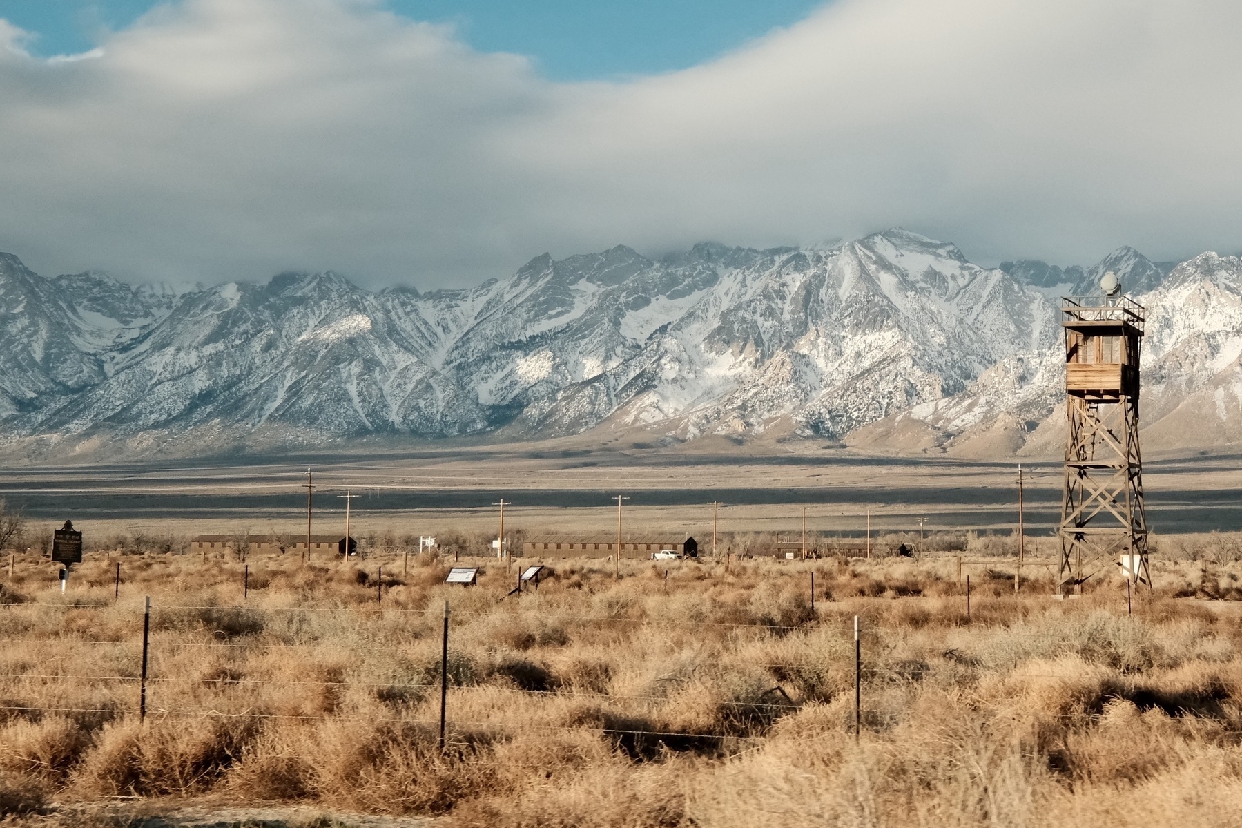
Driving by Manzanar, the vile World War II Japanese-American Internment Camp. The Sierra Nevada mountains are in the background:

An expansive landscape with a guard tower in the foreground and snow-capped mountains in the background, below a sky with light clouds. There's dry, brushy vegetation covering the ground, and several informational signs are visible near the middle ground. A barracks building can be seen.

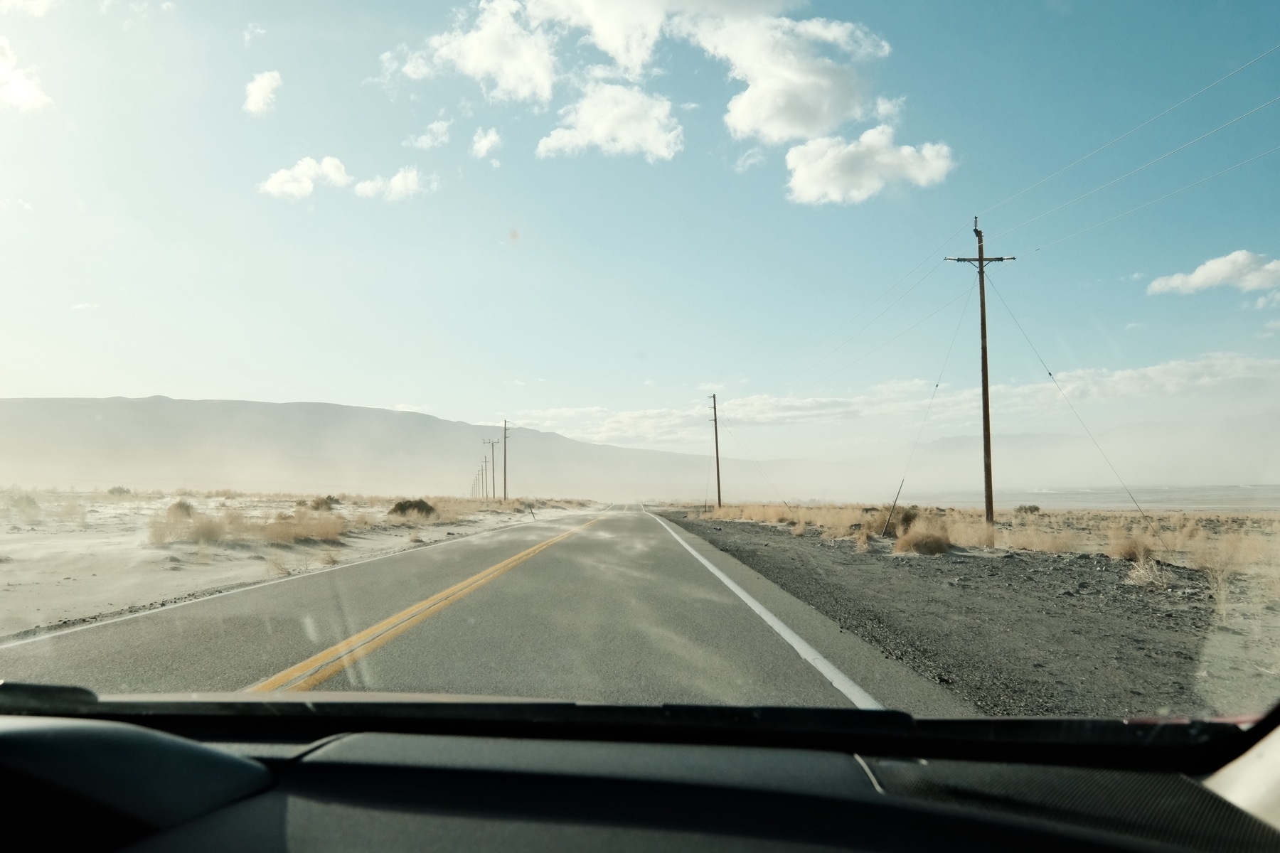
Wind-driven dust on State Route 136, east of Owens Lake:

A view from the inside of a car driving on a straight road through a desert landscape with telephone poles alongside, under a clear sky with scattered clouds. Dust is visible in the air and snaking as ribbons across the road.

See Part 2 or Part 3 or Part 4 or Part 5