Death Valley Road Trip Part 3
Continuing from the Stove-Pipe Wells village, we went to an actual Stove-Pipe Well just to the north.
See Part 1 or Part 2 or Part 4 or Part 5
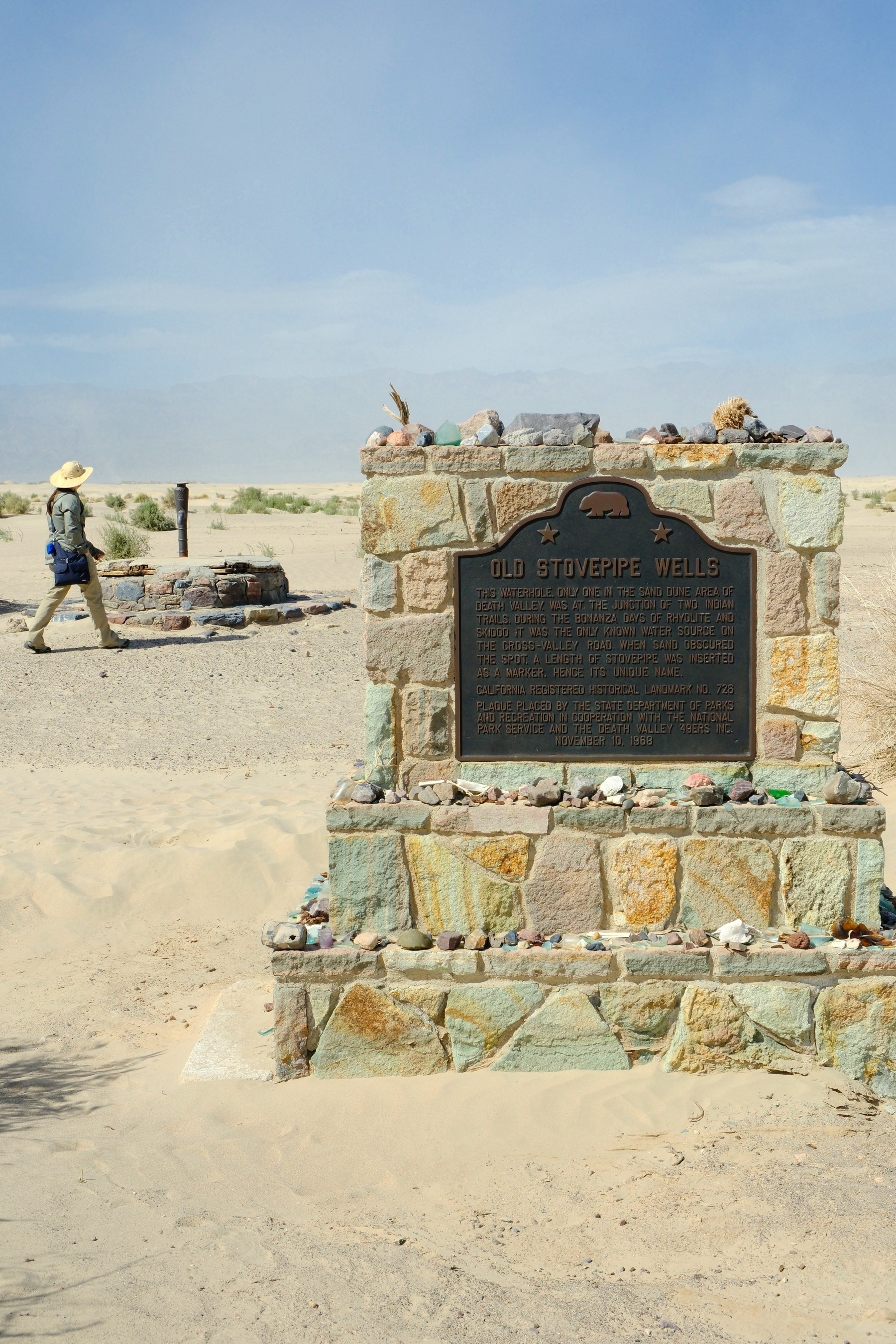
Here’s an actual Stove-Pipe Well and its historical marker. Visitors have apparently placed glass fragments and pretty rocks along its ledges:
While we were there we had a crow beg us for food (you may have seen this posted earlier):
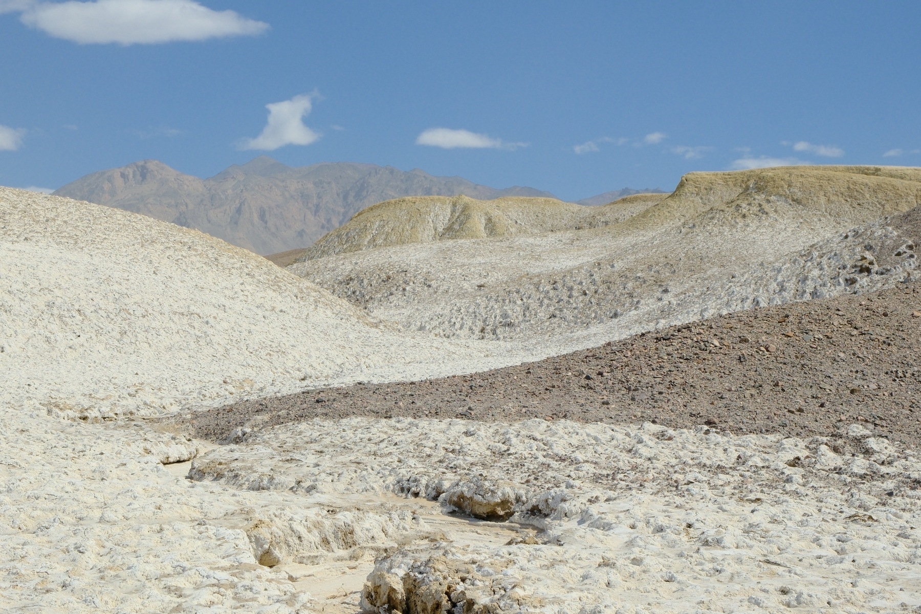
We then headed south toward Badwater. We were hoping to visit the Salt Creek Boardwalk for potential pupfish sightings, but it was destroyed by floods. Instead first visited Mustard Canyon near the Borax Works:
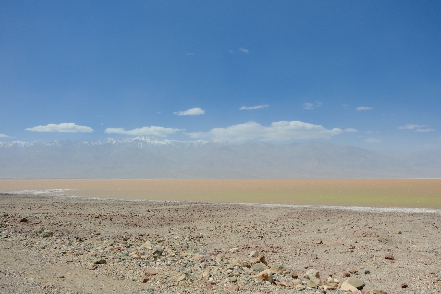
We continued driving south toward Badwater, where the rare and quickly vanishing lake still laps ancient shorelines! For some reason people were wading in the lake at the Badwater Basin trail area:
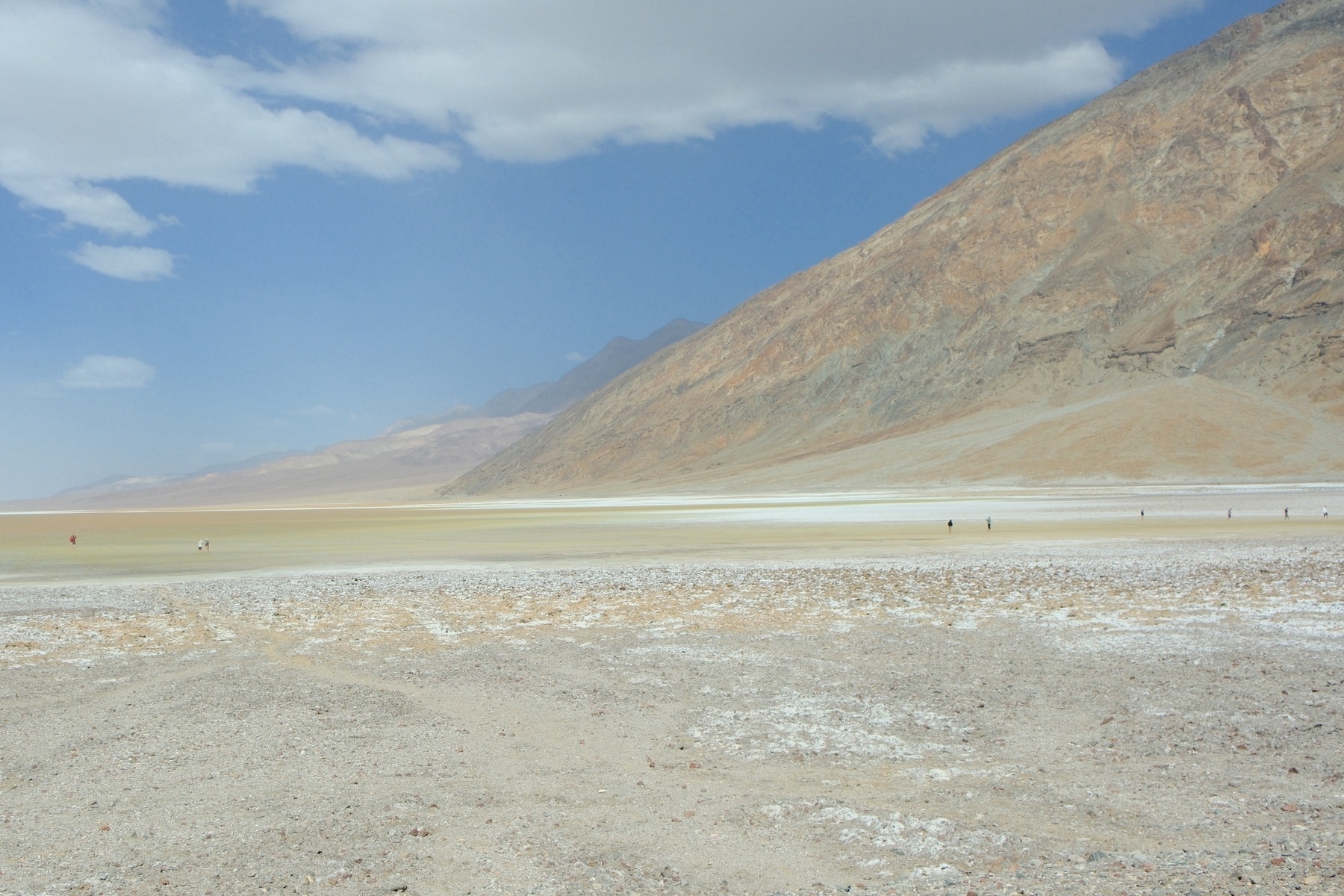
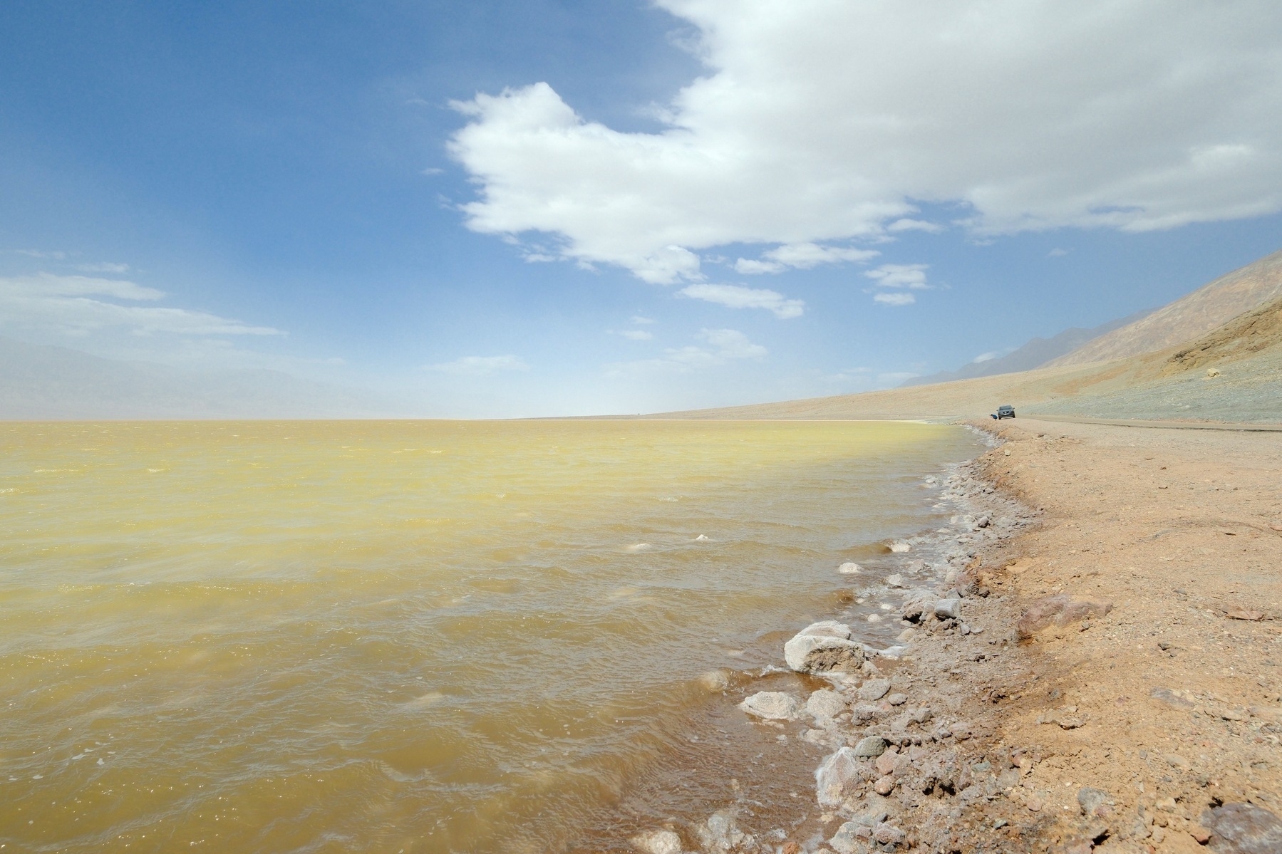
Here’s a closer view of the shallow lake near Badwater Basin. We’re not sure what is creating the green tinge. Something is reflecting green somewhere in the lake’s water or lake bed.
And even closer:
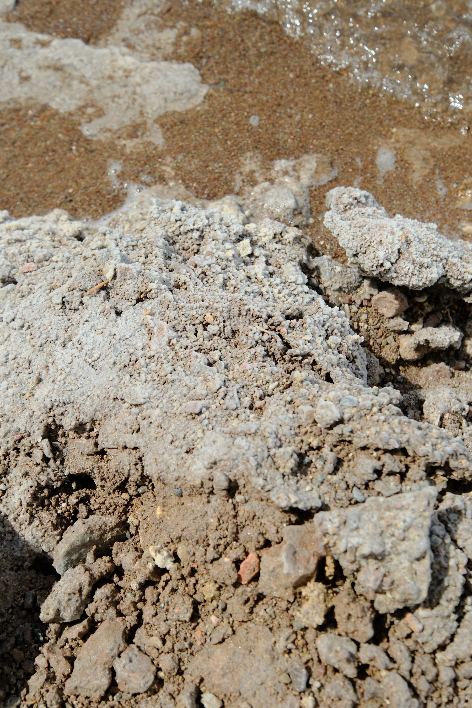
Needless to say, Devils Golf Course was quite underwater. But you can still see some interesting mineralization along the shore:
Of course, we had to take a video of the lake:
Okay. We did more that day but this seems like a good place to dock for the night. I’ll leave it at that!
Part 4 to come in a day or so. See Part 1 or Part 2 or Part 4 or Part 5