Tonight I’ve a quick post of our drive into Death Valley.

See Part 1 or Part 3 or Part 4 or Part 5

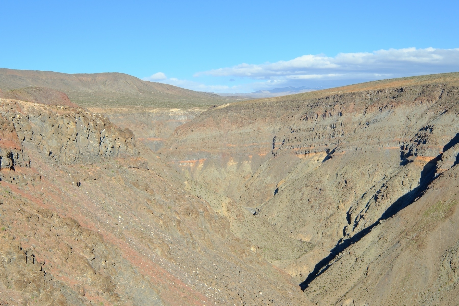
On California State Route 190, west of Panamint Valley and then Death Valley, is the Father Crowley Vista Point of Rainbow Canyon. The wind was howling through the canyon and gushing out over the vista point:


Here’s Rainbow Canyon:

Rugged desert landscape with a deep canyon of faint layered green, red, yellow and tan rock walls. All under a clear blue sky with distant clouds.

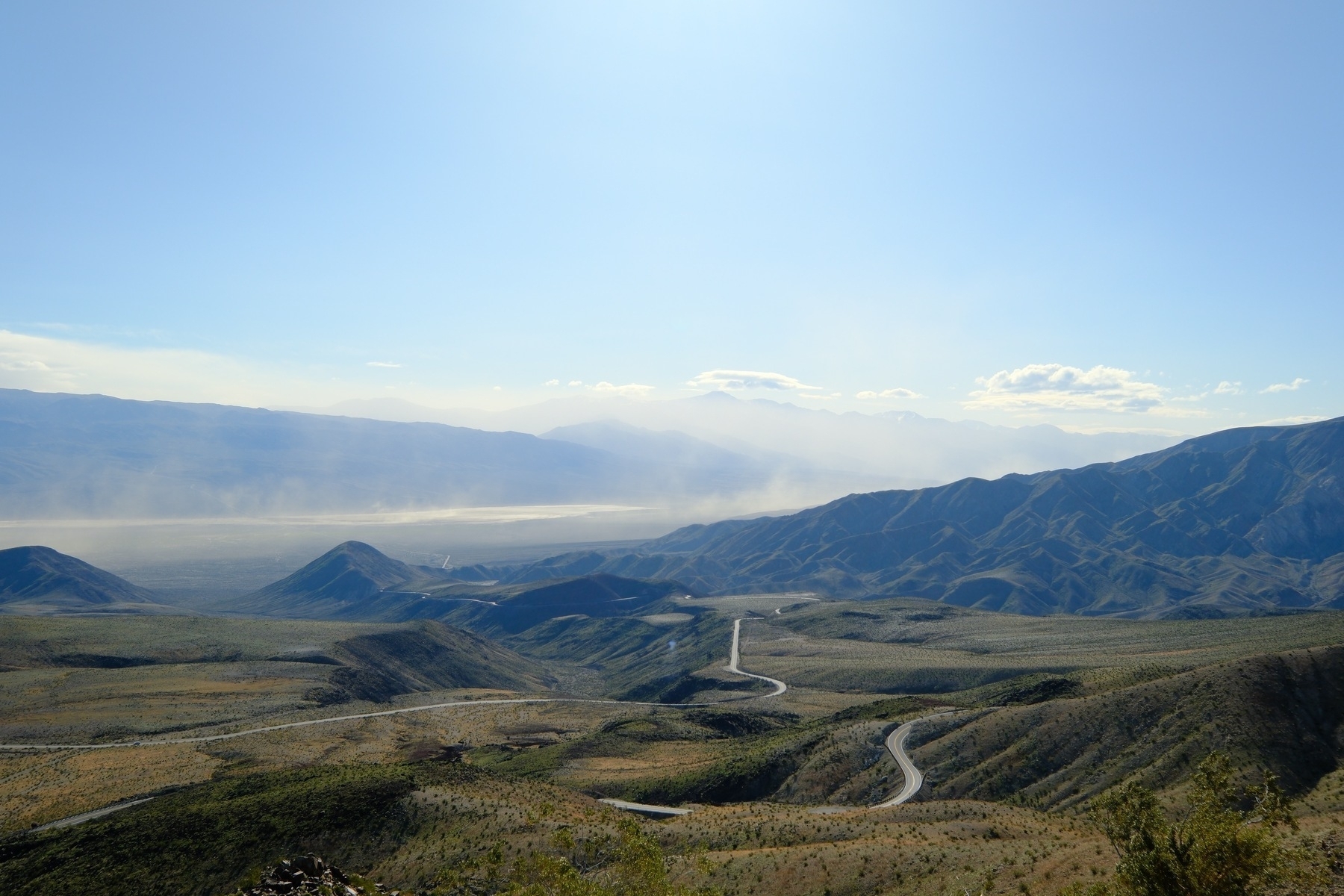
Just down the road is another overlook but of the Panamint Valley. It was just as windy:

A winding road leading through a mountainous desert landscape with layers of mountains in the distance under a clear blue sky. A bright sun is trying to blind the photographer.

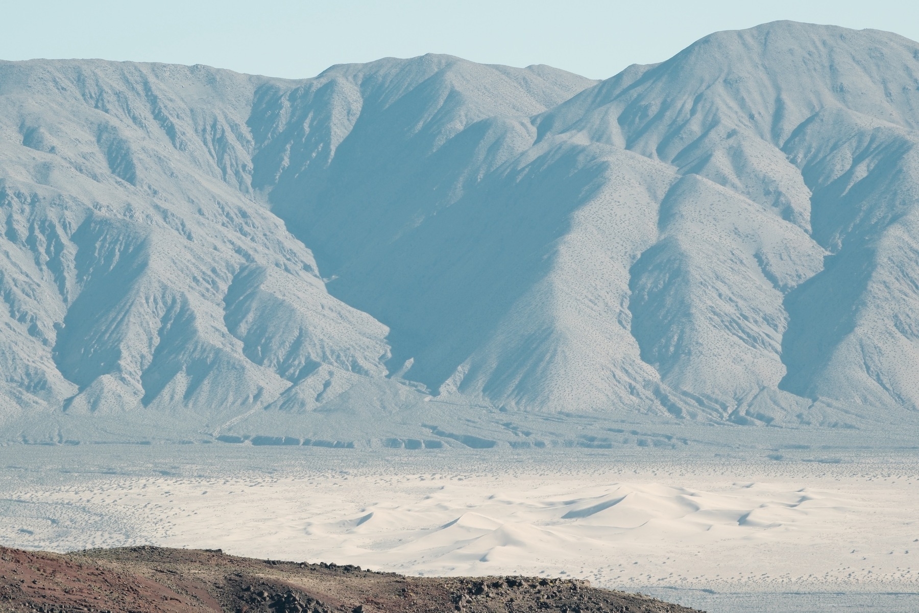
It was a very clear day so we could see the Panamint Dunes (I think) in the northern Panamint Valley:

A landscape featuring a series of shadowy, textured mountains in the background with sand dunes in the foreground, set under a clear sky.

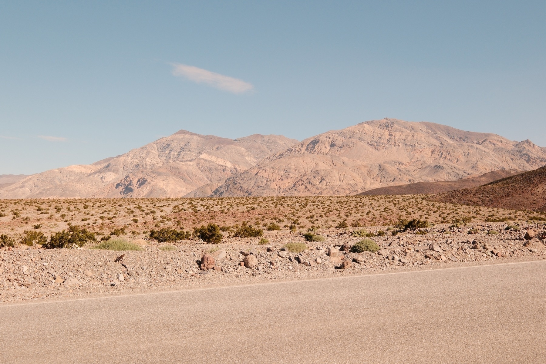
We continued into the Panamint Valley and got a preview of what’s to come in Death Valley:

A desert landscape under a clear blue sky, featuring barren mountains in the background and a section of a paved road in the foreground. A thick white layer of rock is seen dipping to the east.

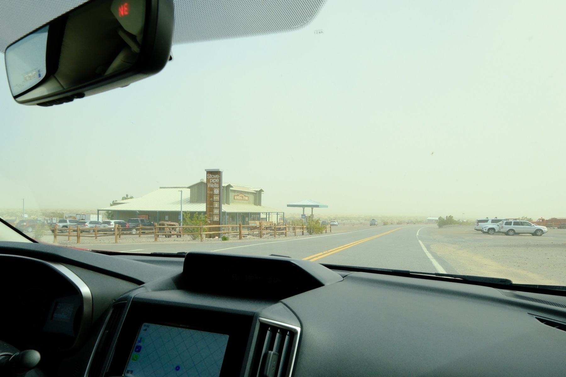
And here we were, Stove-Pipe Wells. Someone (me) didn’t get the offline Apple Maps ;-) Stay tuned for part 3:

View from inside a car featuring a dusty road leading to a building with a sign that reads

See Part 1 or Part 3 or Part 4 or Part 5